Roquebrune-sur-Argens, Medieval commune in Var, France
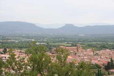
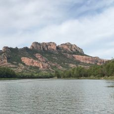
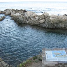
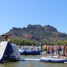
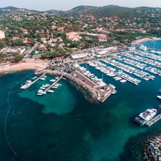
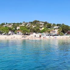
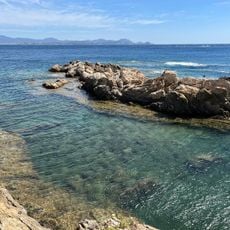
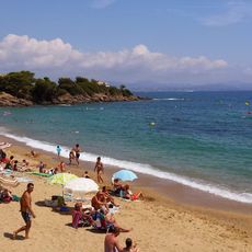
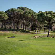
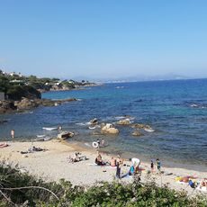
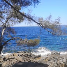
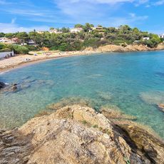
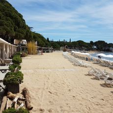
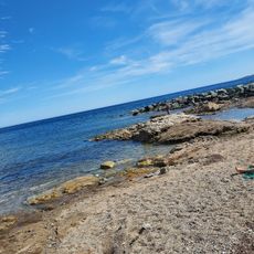
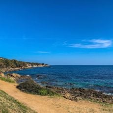
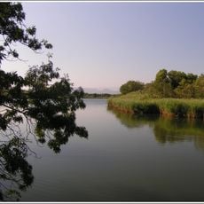
Roquebrune-sur-Argens is a commune in Provence that spreads across a large territory with three main districts: the historic village, the coastal area of Les Issambres, and the residential zone of La Bouverie. The Argens River runs through the landscape, which includes Mediterranean beaches and substantial forest coverage.
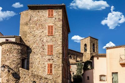
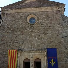
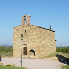
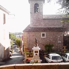
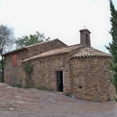
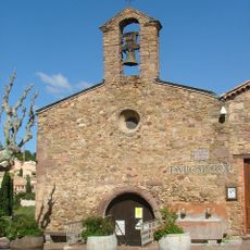
The settlement began around a fortified position called Castrum, established in 983, which gave the place strategic importance in southeastern France. This early stronghold shaped the development of the community for centuries to come.
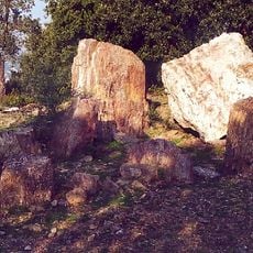
The Maison de la Préhistoire displays objects found locally that show how people lived thousands of years ago in this region. These collections help visitors understand the deep roots of settlement here.
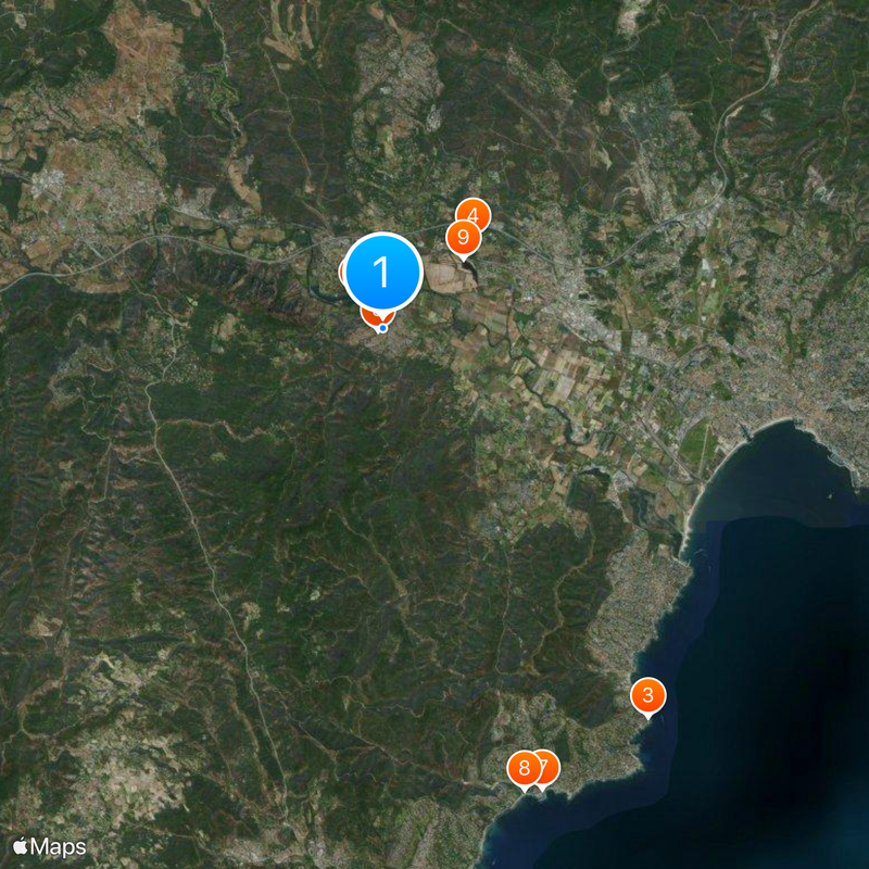
The area is easy to explore with three distinct zones that offer different experiences depending on whether you want to visit the village, the beach, or residential areas. Plan your route to cover the parts that interest you most, as they require separate journeys.
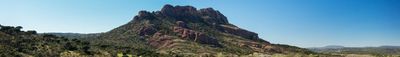
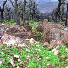
The territory offers a transition between coast and forest that many visitors overlook when they only explore one aspect. This variety makes it a place where you can experience both seaside and natural forest settings in one location.
Location: canton of Le Muy
Location: Var
Location: arrondissement of Draguignan
Elevation above the sea: 100 m
Shares border with: La Motte, Bagnols-en-Forêt, Fréjus, Le Muy, Puget-sur-Argens, Sainte-Maxime
Address: Roquebrune-sur-Argens, France
Phone: +33494195959
Email: mairie@mairie-roquebrune-argens.fr
Website: https://roquebrune.com
GPS coordinates: 43.44333,6.63778
Latest update: December 17, 2025 09:06
Lac de l'Aréna
1.1 km
Vivier maritime de la Gaillarde
11.6 km
Château de Vaucouleurs
3.2 km
Église Saint-Pierre-Saint-Paul de Roquebrune-sur-Argens
115 m
Water Glisse Passion
1 km
Port des Issambres
12 km
Plage 44
11.9 km
Waterworld
2.6 km
Chapelle Saint-Pierre
559 m
Dolmen de la Gaillarde-sur-Mer
11 kmDolmen de l'Agriotier
8.1 km
Plage San Peïre
12.2 km
Vivier Maritime gallo-romain
11.5 km
Plage de La Gaillarde
10.5 km
Saint-Endréol
7.1 km
Plage de la corniche d'azur
10.2 km
Plage des Gireliers
12.2 km
Église Saint-Jacques de Puget-sur-Argens
4 km
Plage du Grand Boucharel
10 km
Plage de la Garonnette
12 kmMare De Catcheou
6.9 km
Plage de la Pinède
12.5 kmSite archéologique du Reydissart
7.4 km
Chapelle Saint-Roch de Roquebrune-sur-Argens
613 m
Plage de l'Arpillon
12.4 km
Les étangs de Villepey
8 kmMonastère Notre-Dame de Pitié de Roquebrune-sur-Argens
338 m
Chapelle Saint-Michel de Roquebrune-sur-Argens
165 mVisited this place? Tap the stars to rate it and share your experience / photos with the community! Try now! You can cancel it anytime.
Discover hidden gems everywhere you go!
From secret cafés to breathtaking viewpoints, skip the crowded tourist spots and find places that match your style. Our app makes it easy with voice search, smart filtering, route optimization, and insider tips from travelers worldwide. Download now for the complete mobile experience.
A unique approach to discovering new places❞
— Le Figaro
All the places worth exploring❞
— France Info
A tailor-made excursion in just a few clicks❞
— 20 Minutes