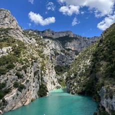
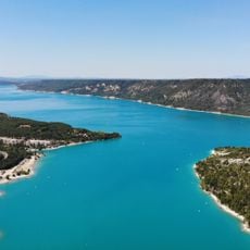
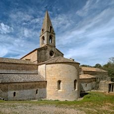
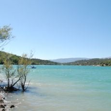
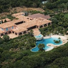
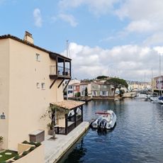
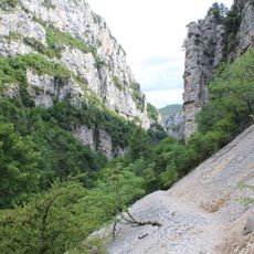
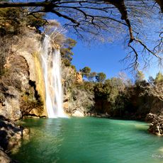
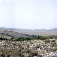
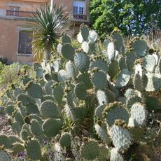
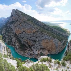
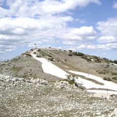
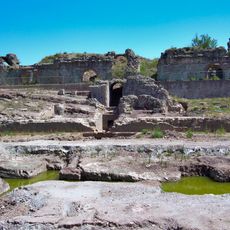
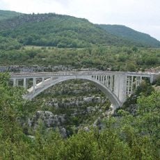
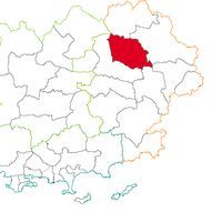
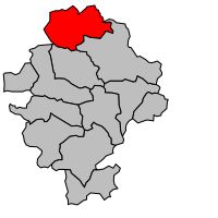
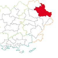
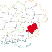
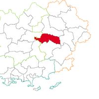
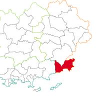
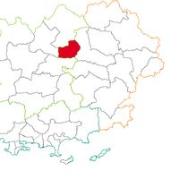
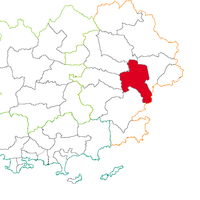
Arrondissement of Draguignan, arrondissement of France
Location: Var
Capital city: Draguignan
GPS coordinates: 43.53330,6.46667
Latest update: May 26, 2025 12:26
Verdon Gorge
26.5 km
Lake of Sainte-Croix
34.3 km
Le Thoronet Abbey
18.3 km
Lac de Saint-Cassien
27.5 km
Pampelonne
37.7 km
Lorada
38.1 km
Port de Saint-Tropez
32.1 km
Sentier Martel
25.7 km
Chartreuse de la Verne
33.6 km
Cascade de Sillans
23 km
Château de La Colle Noire
26.9 km
Gendarmerie Nationale
32.4 km
Plan de Canjuers
23.3 km
Domaine du Rayol
42.1 km
Verdon Regional Natural Park
37.9 km
Montagne de Lachens
28.6 km
Roman amphitheater of Fréjus
23.9 km
Gendarmerie and Cinema Museum of Saint-Tropez
32.4 km
Fréjus Cathedral
24.5 km
Hôtel Byblos
32.6 km
Église Notre-Dame-de-Grâces de Cotignac
25.9 km
Mont Vinaigre
28.9 km
Aqualand Fréjus
24.6 km
Pont de l'Artuby
22.8 km
Aqueduct from Mons to Fréjus
24.6 km
Citadel of St. Tropez
32.4 km
Missiri mosque
22.6 km
Villa La Mandala
33.1 kmVisited this place? Tap the stars to rate it and share your experience / photos with the community! Try now! You can cancel it anytime.
Discover hidden gems everywhere you go!
From secret cafés to breathtaking viewpoints, skip the crowded tourist spots and find places that match your style. Our app makes it easy with voice search, smart filtering, route optimization, and insider tips from travelers worldwide. Download now for the complete mobile experience.
A unique approach to discovering new places❞
— Le Figaro
All the places worth exploring❞
— France Info
A tailor-made excursion in just a few clicks❞
— 20 Minutes