
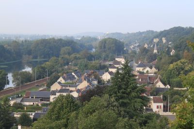
Bourré, former commune in Loir-et-Cher, France
Location: Loir-et-Cher
Location: arrondissement of Blois
Elevation above the sea: 134 m
Shares border with: Angé, Monthou-sur-Cher, Pontlevoy, Saint-Julien-de-Chédon, Montrichard
GPS coordinates: 47.34722,1.22639
Latest update: July 28, 2025 19:38
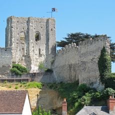
Château de Montrichard
3.1 km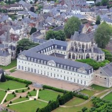
Pontlevoy Abbey
5.2 km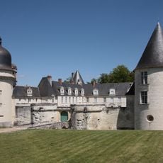
Château du Gué-Péan
7 km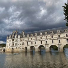
La Bélandre
10.6 km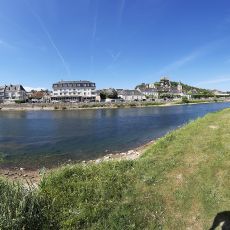
Plage de Montrichard
3.3 km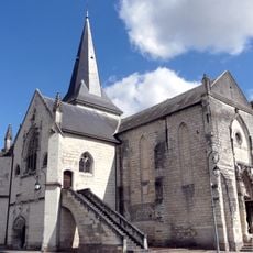
Église Notre-Dame-de-Nanteuil de Montrichard
3.9 km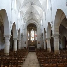
Église Saint-Pierre de Pontlevoy
5.1 km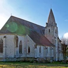
Église Saint-Martin de Céré-la-Ronde
10.1 km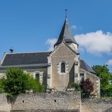
Saint Peter church of Chisseaux
10.1 km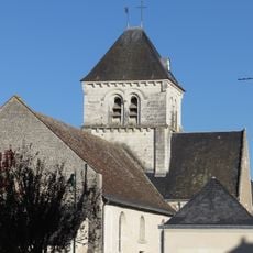
Église Saint-Georges de Saint-Georges-sur-Cher
8 km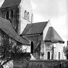
Église Saint-Cyr de Monthou-sur-Cher
5.1 km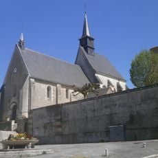
Église Saint-Thibault de Francueil
11.4 km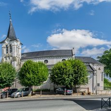
Saint Martin church of Sambin
11.4 km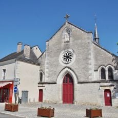
Église Notre-Dame de Thenay
6.5 km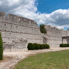
Ruines romaines des Mazelles
5.5 km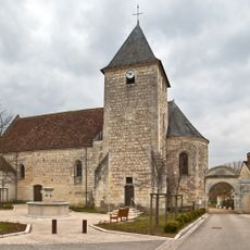
Église Saint-Martin de Mareuil-sur-Cher
9.8 km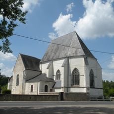
Église Saint-Saturnin de Chissay-en-Touraine
7.2 km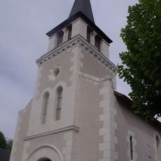
Église Saint-Germain de Choussy
9.4 km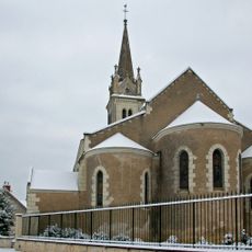
Église Saint-Georges de Thésée
6.2 km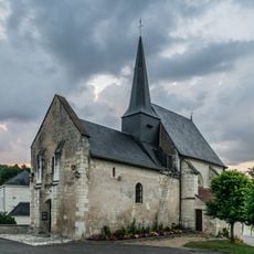
Saint Albinus church
4.3 km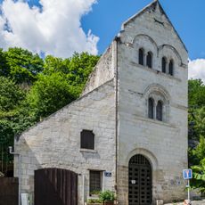
Maison du Prèche
3 km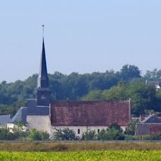
Église Saint-Pierre-aux-Liens d'Angé
2.1 km
Maison, 51 rue de la Massue
3 km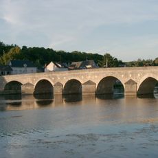
Pont de Montrichard
3.1 km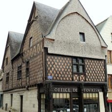
Maison de l'Ave Maria
3 km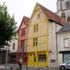
Maisons en pans de bois
3.1 km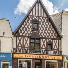
House at 22 Rue nationale in Montrichard
3.3 km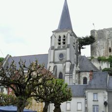
Église Sainte-Croix de Montrichard
3.1 kmReviews
Visited this place? Tap the stars to rate it and share your experience / photos with the community! Try now! You can cancel it anytime.
Discover hidden gems everywhere you go!
From secret cafés to breathtaking viewpoints, skip the crowded tourist spots and find places that match your style. Our app makes it easy with voice search, smart filtering, route optimization, and insider tips from travelers worldwide. Download now for the complete mobile experience.

A unique approach to discovering new places❞
— Le Figaro
All the places worth exploring❞
— France Info
A tailor-made excursion in just a few clicks❞
— 20 Minutes