Enable Location

We need your location to show you interesting places around you

Discover nearby places

Find interesting locations and hidden gems around you

Precise directions

Get accurate directions and distances to places

Your location is never shared with other users. It's only used when you tap the location button.

Saint-Benoît-du-Sault

Log in to your account

Start exploring — it's free

Trusted by 63,705 travelers worldwide

Continue with Google
Continue with Apple
or

We will send you a code to connect

By continuing, you accept our Terms and Conditions and our Privacy Policy

Check your inbox

We've sent a pincode in your inbox. Please enter the code below.

Saint-Benoît-du-Sault
Discussion Reviews 2 Photos
9.1k Popularity

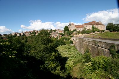
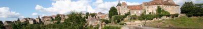
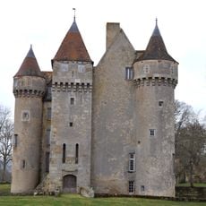
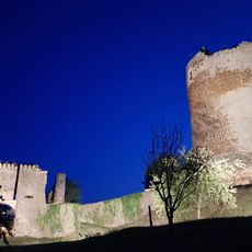
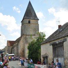
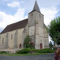
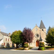
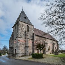
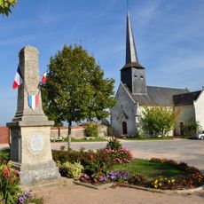
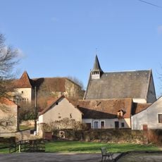
Saint-Benoît-du-Sault, Medieval commune in Indre department, France.

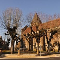
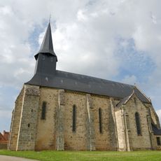
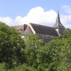
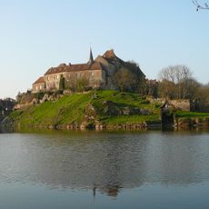
Saint-Benoît-du-Sault sits on a granite hilltop at 219 meters elevation, featuring narrow cobblestone streets lined with traditional stone houses that wind through its well-preserved medieval layout.

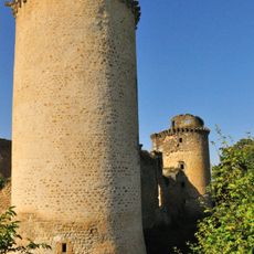
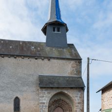
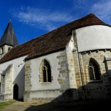
Founded in 974 AD by Benedictine monks from Sacierges-Saint-Martin who established a priory on this strategic rocky outcrop, the settlement developed as a fortified religious center throughout the Middle Ages.

Designated as one of France's Most Beautiful Villages, the commune hosts annual festivals celebrating local traditions, agricultural fairs, and cultural exhibitions that showcase regional crafts and gastronomy to visitors and residents.

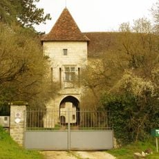
Located in the canton of Saint-Benoît-du-Sault within the arrondissement of Le Blanc, the commune offers essential amenities including accommodations, guided tours, and hiking paths along the scenic Portefeuille River valley.

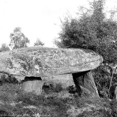
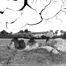
The village contains two prehistoric dolmens named Passebonneau and des Gorces, ancient Celtic burial sites that predate the medieval settlement by thousands of years and demonstrate continuous human habitation.

The community of curious travelers

AroundUs brings together thousands of curated places, local tips, and hidden gems, enriched daily by 60,000 contributors worldwide.

Start exploring
Location
Elevation above the sea
219 m
Shares border with
La Châtre-Langlin, Parnac, Roussines
Address
36170 Saint-Benoît-du-Sault, France
Phone
GPS coordinates
46.44056,1.39056
Latest update
August 2, 2025 16:07
Reviews
Share your experience

No review yet

Discussions
Start a discussion...

No discussion yet

« Saint-Benoît-du-Sault - Medieval commune in Indre department, France » is provided by Around Us (aroundus.com). Images and texts are derived from Wikimedia project under a Creative Commons license. You are allowed to copy, distribute, and modify copies of this page, under the conditions set by the license, as long as this note is clearly visible.

Discover hidden gems everywhere you go!

From secret cafés to breathtaking viewpoints, skip the crowded tourist spots and find places that match your style. Our app makes it easy with voice search, smart filtering, route optimization, and insider tips from travelers worldwide. Download now for the complete mobile experience.

Around Us App Screenshot

A unique approach to discovering new places

Le Figaro

All the places worth exploring

France Info

A tailor-made excursion in just a few clicks

20 Minutes

Around Us
Travel Guide & Maps
Download

Send to your phone

QR Code
1

Open the camera app on your mobile.

2

Point at the QR code with your camera. A notification will appear.

3

Tap the notification to open the link.