Enable Location

We need your location to show you interesting places around you

Discover nearby places

Find interesting locations and hidden gems around you

Precise directions

Get accurate directions and distances to places

Your location is never shared with other users. It's only used when you tap the location button.

Sainte-Adresse

Log in to your account

Start exploring — it's free

Trusted by 62,466 travelers worldwide

Continue with Google
Continue with Apple
or

We will send you a code to connect

By continuing, you accept our Terms and Conditions and our Privacy Policy

Check your inbox

We've sent a pincode in your inbox. Please enter the code below.

Sainte-Adresse, Coastal commune in Seine-Maritime, France

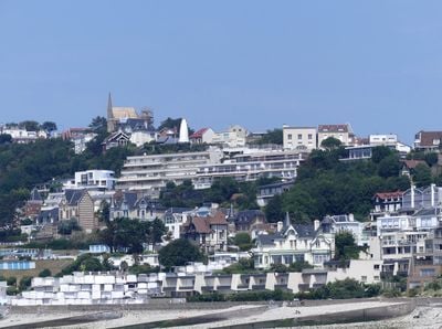
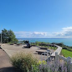
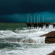
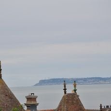
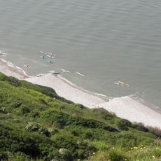
Sainte-Adresse is a coastal commune in Normandy positioned northwest of Le Havre along the shoreline. The village features residential areas and maintains direct access to the coast with views across the Channel.

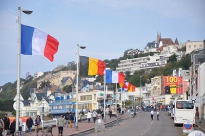
The village was originally known as Saint-Denis-Chef-de-Caux and gained international significance during World War I. From 1914 to 1918, it served as the seat of the Belgian government in exile while Belgium was occupied.

The name "Sainte-Adresse" comes from an early Christian saint honored in this region. The village preserves this religious connection in its identity, showing how local traditions remain alive in the place's name across centuries.

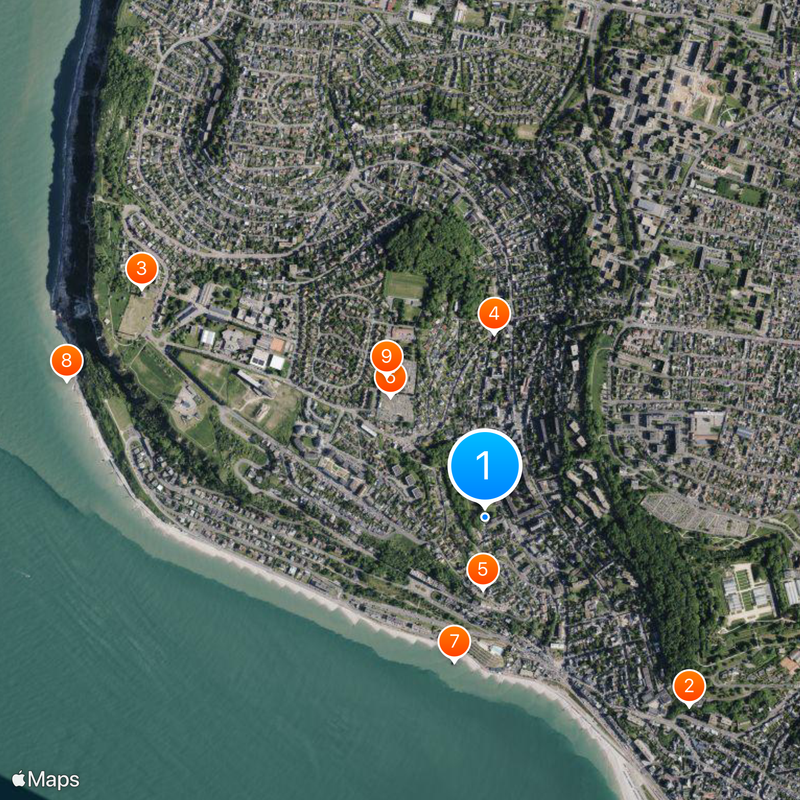
The village sits conveniently on a bus line to neighboring Le Havre and is easily reachable by car. Most visitor areas are accessible from the coastal road, and parking is available in residential neighborhoods.

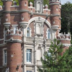
Actress Sarah Bernhardt lived in a villa decorated with elaborate painted facades displaying her initials. The frescos were designed by architect Georges de Borker and showcase the artistic tastes of this renowned resident.

The community of curious travelers

AroundUs brings together thousands of curated places, local tips, and hidden gems, enriched daily by 60,000 contributors worldwide.

Start exploring
Location
Elevation above the sea
69 m
Shares border with
Le Havre
Address
Sainte-Adresse, France
Phone
GPS coordinates
49.50639,0.08333
Latest update
December 20, 2025 14:16
« Sainte-Adresse - Coastal commune in Seine-Maritime, France » is provided by Around Us (aroundus.com). Images and texts are derived from Wikimedia project under a Creative Commons license. You are allowed to copy, distribute, and modify copies of this page, under the conditions set by the license, as long as this note is clearly visible.

Discover hidden gems everywhere you go!

From secret cafés to breathtaking viewpoints, skip the crowded tourist spots and find places that match your style. Our app makes it easy with voice search, smart filtering, route optimization, and insider tips from travelers worldwide. Download now for the complete mobile experience.

Around Us App Screenshot

A unique approach to discovering new places

Le Figaro

All the places worth exploring

France Info

A tailor-made excursion in just a few clicks

20 Minutes

Around Us
Travel Guide & Maps
Download

Send to your phone

QR Code
1

Open the camera app on your mobile.

2

Point at the QR code with your camera. A notification will appear.

3

Tap the notification to open the link.