Seine-Maritime, Administrative department in Normandy, France
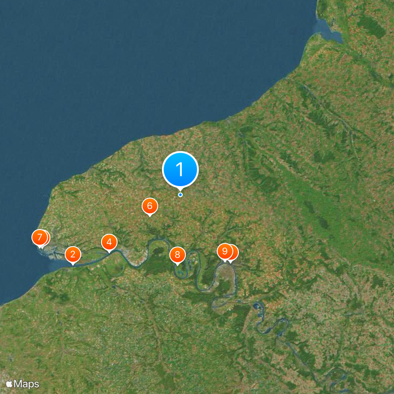
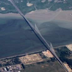
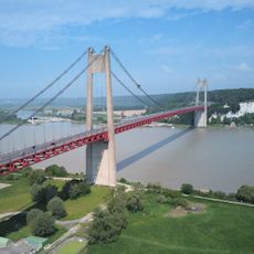
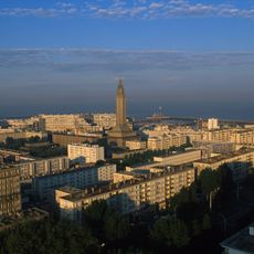
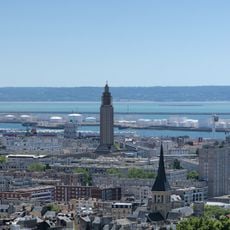
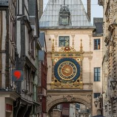
Seine-Maritime is an administrative territory in Normandy running from the mouth of the Seine to the chalk coast of the English Channel. This area covers the port city of Le Havre, the historic town of Rouen, and several smaller coastal settlements scattered between riverbanks and cliffs.
The territory was formed in 1790 during the Revolution's reorganization of France and carried the name Seine-Inférieure until 1955. During World War II, Le Havre suffered heavy bombardment, leading to extensive rebuilding in the postwar years.
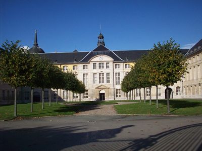
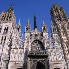
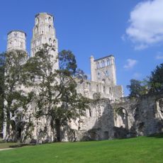
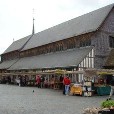
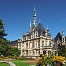
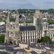
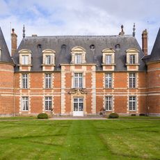
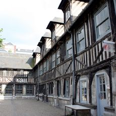
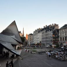
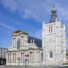
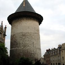
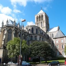
The name links the river to the sea, reflecting centuries of fishing, trade and shipbuilding along its shores. Visitors today find working harbors, fish markets and shipyards still active, while Gothic churches and half-timbered houses recall the merchant wealth of earlier times.
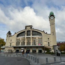
The region is reachable from Paris by train in roughly two hours, with rail lines serving Le Havre and Rouen forming the main routes. Coastal roads connect individual towns and offer viewpoints along the cliffs that show the open sea in clear weather.
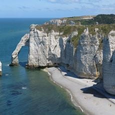
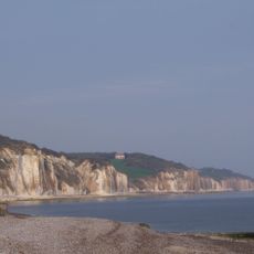
The white coast between Dieppe and Étretat shows natural arches and needles of chalk carved over millennia by waves. In some places, grassland runs right to the cliff edge, while narrow pebble beaches below are only accessible at low tide.
The community of curious travelers
AroundUs brings together thousands of curated places, local tips, and hidden gems, enriched daily by 60,000 contributors worldwide.