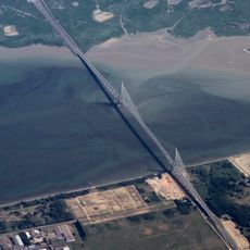
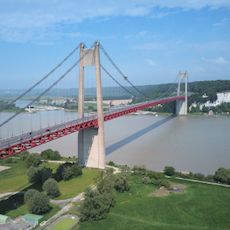
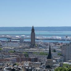
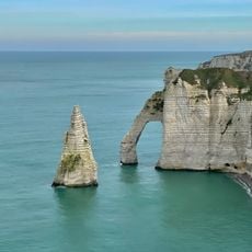
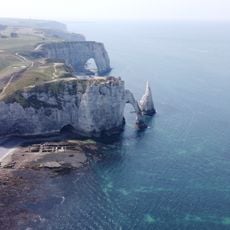
Arrondissement of Havre, arrondissement of France
Location: Seine-Maritime
Capital city: Le Havre
Shares border with: arrondissement of Dieppe, arrondissement of Rouen, arrondissement of Bernay
GPS coordinates: 49.49349,0.11279
Latest update: June 1, 2025 10:21
Pont de Normandie
13.5 km
Pont de Tancarville
25.4 km
Reconstructed center of Le Havre
519 m
Chêne d'Allouville
42.3 km
St. Joseph's Church
890 m
Palais Bénédictine
34.8 km
Le Volcan
545 m
Le Havre Cathedral
797 m
Fécamp Abbey
35 km
MuMa Museum of modern art André Malraux
1.2 km
Aiguille d'Étretat
24.5 km
Maison Maurice Leblanc
24.6 km
Etretat Cliffs
24.4 km
Etretat Gardens
25.1 km
Jardins suspendus
1.8 km
Château Cany
48.2 km
Château de Tancarville
25.4 km
Funiculaire du Havre
618 m
Town hall of Le Havre
361 m
Container catena
1.2 km
Château de Fréfossé
23.2 km
Maison de l'Armateur
734 m
Abbaye de Graville
3.9 km
Musée Victor-Hugo
40.6 km
Appartement témoin Perret
423 m
Pont sur le Grand Canal du Havre
12.1 km
Réserve naturelle nationale de l'estuaire de la Seine
12.4 kmVisited this place? Tap the stars to rate it and share your experience / photos with the community! Try now! You can cancel it anytime.
Discover hidden gems everywhere you go!
From secret cafés to breathtaking viewpoints, skip the crowded tourist spots and find places that match your style. Our app makes it easy with voice search, smart filtering, route optimization, and insider tips from travelers worldwide. Download now for the complete mobile experience.
A unique approach to discovering new places❞
— Le Figaro
All the places worth exploring❞
— France Info
A tailor-made excursion in just a few clicks❞
— 20 Minutes