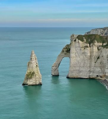
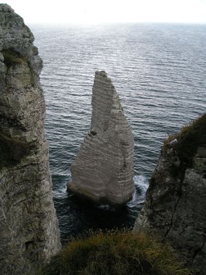
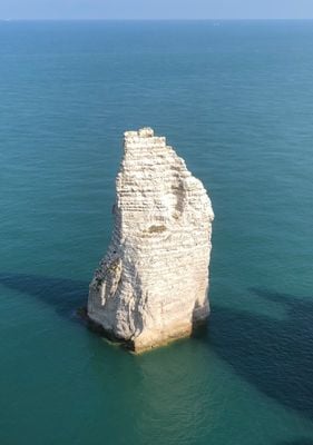
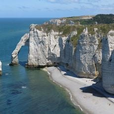
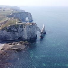
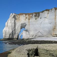
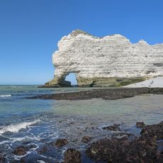
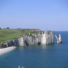
Aiguille d'Étretat, Natural rock formation at Étretat, France.
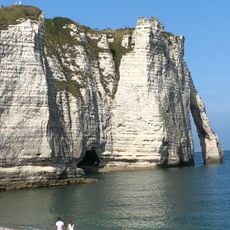
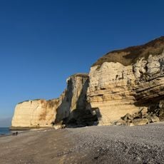
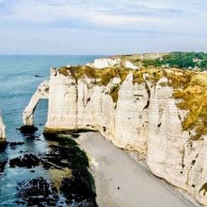
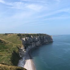
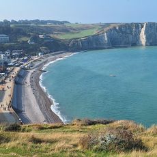
The Aiguille d'Étretat is a 51-meter-high limestone needle rising from the sea off the Normandy coast, created as the surrounding chalk cliffs eroded over time. This distinctive formation stands as one of several dramatic rock shapes that punctuate this stretch of shoreline.
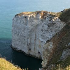
This needle formation developed over millions of years as seawater gradually eroded calcium-rich chalk deposits, leaving behind the pointed structure visible today. The erosion process continues slowly, with waves and weather constantly reshaping this coastal section.
This chalk needle became a favorite subject for 19th-century painters who found inspiration in its dramatic form rising from the sea. The formation remains deeply connected to the region's identity and continues to draw artists and photographers seeking to capture its distinctive silhouette.
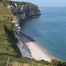
The GR21 coastal path offers the best views from dedicated observation points where you can see the needle from different angles. Boat excursions departing from Étretat beach provide an alternative perspective from the water if you prefer viewing from offshore.
Multiple layers of flint bands run through the chalk structure, creating natural patterns that shift with changing light throughout the day. These dark stripes become especially visible at sunrise or sunset, significantly altering how the formation appears.
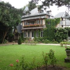
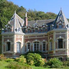
The community of curious travelers
AroundUs brings together thousands of curated places, local tips, and hidden gems, enriched daily by 60,000 contributors worldwide.