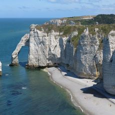
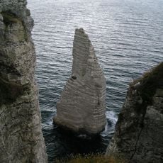
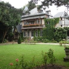
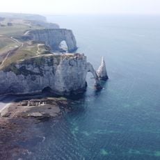
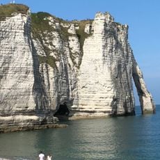
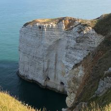
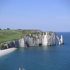
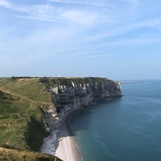
Beach of Le Tilleul, Sandy beach along the Alabaster Coast, Normandy, France
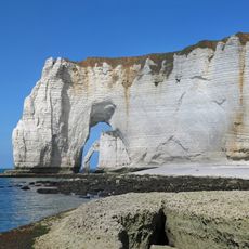
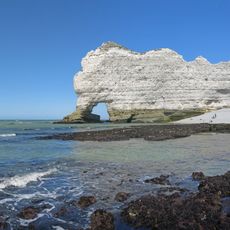
The Beach of Le Tilleul, also called Plage d'Antifer, is a 1.5 km strip of pale sand and pebbles at the foot of high chalk cliffs on the Alabaster Coast. It runs between the Pointe du Fourquet to the southwest and the Pointe de la Courtine to the northeast, and the strand is somewhat wider in its northeastern section.
The sources record no Roman walls or ancient fortifications here. The beach's documented history is one of shifting parish boundaries: the northern part belongs to Le Tilleul, while the larger southern stretch lies in La Poterie-Cap-d'Antifer, the municipal line running through the mouth of the Valleuse d'Antifer ravine, which also provides the way down to the sand.
The beach lies at the mouth of the Valleuse d'Antifer, a dry valley cut into the chalk plateau; this gully is also the way down to the sand. The municipal boundary between Le Tilleul and La Poterie-Cap-d'Antifer runs along it, so the strand is shared by two communes.
Access is via the Valleuse d'Antifer, a gap in the cliff; the nearest car park lies about 1.5 km away, and dense motor traffic to the shore is no longer allowed for conservation. There are no tourist facilities of any kind, so bring what you need. The north-eastern stretch of beach is somewhat wider.
The shoreline actually belongs to two different municipalities, with the northern portion in Le Tilleul and the southern section extending into La Poterie-Cap-d'Antifer territory. Most visitors walk through both areas without noticing this administrative boundary.
The community of curious travelers
AroundUs brings together thousands of curated places, local tips, and hidden gems, enriched daily by 94,477 contributors worldwide.