Enable Location

We need your location to show you interesting places around you

Discover nearby places

Find interesting locations and hidden gems around you

Precise directions

Get accurate directions and distances to places

Your location is never shared with other users. It's only used when you tap the location button.

Piégut-Pluviers

Log in to your account

Start exploring — it's free

Trusted by 62,972 travelers worldwide

Continue with Google
Continue with Apple
or

We will send you a code to connect

By continuing, you accept our Terms and Conditions and our Privacy Policy

Check your inbox

We've sent a pincode in your inbox. Please enter the code below.

Discussion Reviews 2 Photos
5.9k Popularity

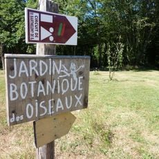
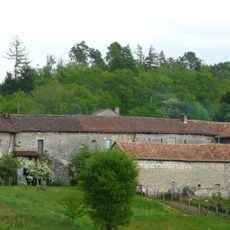
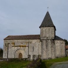
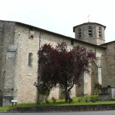
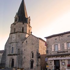
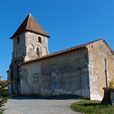
Piégut-Pluviers, French commune in the Dordogne department, France.

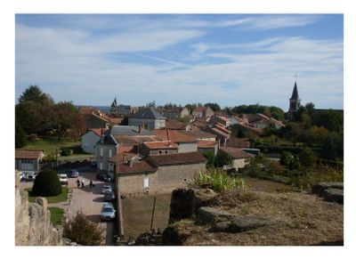
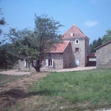
Piégut-Pluviers sits at an elevation of 263 meters in the Dordogne department, belonging to the arrondissement of Nontron and the canton of Bussière-Badil, providing a peaceful rural setting for its residents.

The town's name derives from the Latin 'Podium Accutum' meaning elevated place, and the commune was officially formed on January 8, 1862, by transferring the administrative center from the former commune of Pluviers.

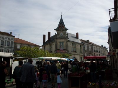
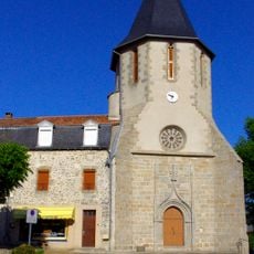
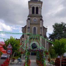
The commune annually hosts the Occitan festival called félibrée that brings together enthusiasts of Occitan language and culture, particularly around the market square near the historic town hall built in 1910.

The Flemish-style town hall constructed in 1910 according to plans by Parisian architect Mariaud houses the municipal administrative services and features voting rooms that were converted in the 1980s.

The town hall clock was uniquely installed with a cracked dial after it was damaged during mounting, reflecting the pragmatic approach of local craftsmen who chose to preserve the damaged piece rather than replace it.

The community of curious travelers

AroundUs brings together thousands of curated places, local tips, and hidden gems, enriched daily by 60,000 contributors worldwide.

Start exploring
Location
Elevation above the sea
263 m
Shares border with
Champniers-et-Reilhac, Augignac, Abjat-sur-Bandiat, Busserolles, Saint-Barthélemy-de-Bussière, Saint-Estèphe
Address
24360 Piégut-Pluviers, France
Phone
GPS coordinates
45.62250,0.68944
Latest update
July 29, 2025 08:00
Reviews
Share your experience

No review yet

Discussions
Start a discussion...

No discussion yet

« Piégut-Pluviers - French commune in the Dordogne department, France » is provided by Around Us (aroundus.com). Images and texts are derived from Wikimedia project under a Creative Commons license. You are allowed to copy, distribute, and modify copies of this page, under the conditions set by the license, as long as this note is clearly visible.

Discover hidden gems everywhere you go!

From secret cafés to breathtaking viewpoints, skip the crowded tourist spots and find places that match your style. Our app makes it easy with voice search, smart filtering, route optimization, and insider tips from travelers worldwide. Download now for the complete mobile experience.

Around Us App Screenshot

A unique approach to discovering new places

Le Figaro

All the places worth exploring

France Info

A tailor-made excursion in just a few clicks

20 Minutes

Around Us
Travel Guide & Maps
Download

Send to your phone

QR Code
1

Open the camera app on your mobile.

2

Point at the QR code with your camera. A notification will appear.

3

Tap the notification to open the link.