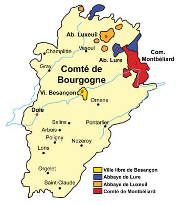
County of Burgundy, Medieval state in eastern France
The County of Burgundy was a medieval territory in eastern France, stretching across what is now the Franche-Comté region with valleys, mountains, and rivers between modern Switzerland and France. The landscape featured significant elevation changes and waterways that shaped settlement patterns and trade routes throughout the land.
The territory began in 982 when Otto-William took control of lands outside the Duchy of Burgundy and became part of the Holy Roman Empire in 1032. This incorporation shaped the political structure and power dynamics of the region for centuries to come.
The County of Burgundy developed a system of local governance through various lords who maintained separate jurisdictions while sharing authority with the counts.
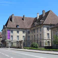
Administrative authority was centered in Dole, where the parliament made key decisions and handled legal matters for the entire territory. Understanding how this centralized system operated helps explain the governance structure across the region.
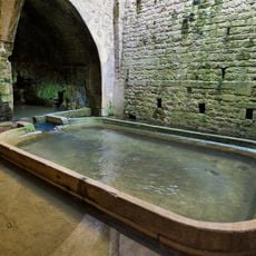
The region produced salt that was transported through the Jura mountains, bringing significant wealth to the territory. This salt trade became one of the primary sources of economic growth and commerce with neighboring areas.
The community of curious travelers
AroundUs brings together thousands of curated places, local tips, and hidden gems, enriched daily by 60,000 contributors worldwide.