
Lucinges, commune in Haute-Savoie, France
Location: Canton of Annemasse-Nord
Location: Haute-Savoie
Location: arrondissement of Saint-Julien-en-Genevois
Elevation above the sea: 930 m
Shares border with: Bonne, Cranves-Sales, Fillinges, Saint-André-de-Boëge
Phone: +33450433093
Email: accueil@lucinges.fr
Website: http://lucinges.fr
GPS coordinates: 46.19005,6.31845
Latest update: July 18, 2025 13:10
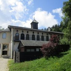
Monastère de Bethléem des Voirons
4.7 km
Meulières du Mont Vouan
5.8 km
Chapelle Notre-Dame-des-Voirons de Boëge
5.7 km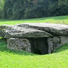
Cave aux Fées
3.4 km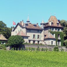
Château du Crest
7 km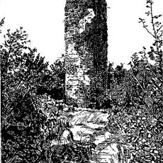
Château de Langin
7.3 km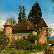
Château de Baudry
4.4 km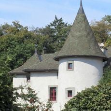
Château de Loëx
2.9 km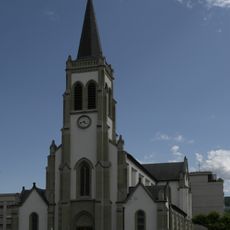
Église Saint-André d'Annemasse
6.6 km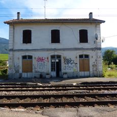
Gare de Saint-Cergues
4.2 km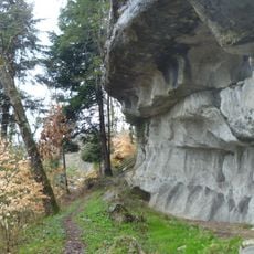
Meulières de Saint-André-de-Boëge
4 km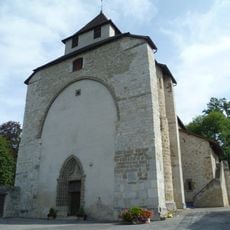
Église Sainte-Foy de Contamine-sur-Arve
7.1 km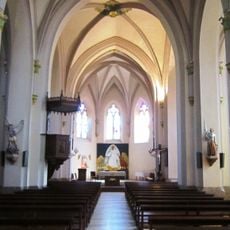
Église Saint-Maurice de Boëge
7.1 km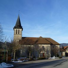
Église Saint-André de Saint-André-de-Boëge
5.9 km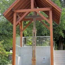
Croix de chemin de Saint-Cergues
5 km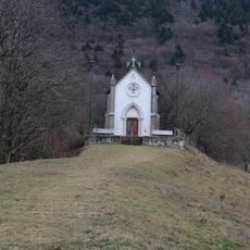
Chapelle Notre-Dame-de-Lourdes de Chermont
4.7 km
Cimetière de Contamine-sur-Arve
7.3 km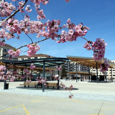
Manège de l’hôtel de ville
6.5 km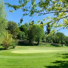
Golf de Machilly
7.7 km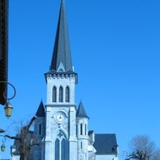
Église Saint-Laurent de Fillinges
4 km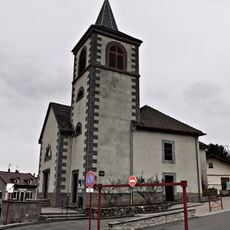
Église Saint-Martin de Machilly
6.9 km
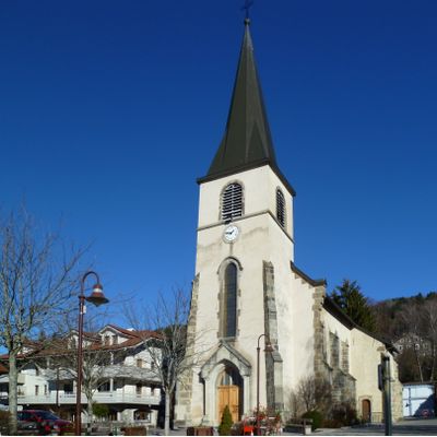
Église Saint-Étienne de Lucinges
35 m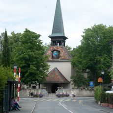
Temple
6.5 km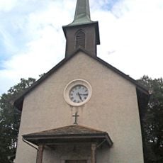
Saint-Félix church
5.8 km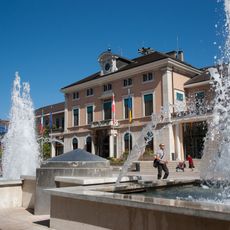
Hôtel de Ville d'Annemasse
6.5 km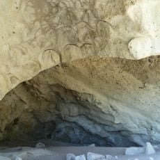
Meulières du Mont Vouan
5.4 km
Église réformée d'Annemasse
6.5 km
Chapel of Arthaz-Pont-Notre-Dame
4.4 kmVisited this place? Tap the stars to rate it and share your experience / photos with the community! Try now! You can cancel it anytime.
Discover hidden gems everywhere you go!
From secret cafés to breathtaking viewpoints, skip the crowded tourist spots and find places that match your style. Our app makes it easy with voice search, smart filtering, route optimization, and insider tips from travelers worldwide. Download now for the complete mobile experience.

A unique approach to discovering new places❞
— Le Figaro
All the places worth exploring❞
— France Info
A tailor-made excursion in just a few clicks❞
— 20 Minutes