
Etaux, commune in Haute-Savoie, France
Location: Haute-Savoie
Location: arrondissement of Bonneville
Elevation above the sea: 760 m
Shares border with: La Chapelle-Rambaud, Cornier, Pers-Jussy, La Roche-sur-Foron, Fillière
Phone: +33450030244
Email: commune@eteaux.fr
Website: http://eteaux.fr
GPS coordinates: 46.06556,6.29389
Latest update: May 28, 2025 17:08
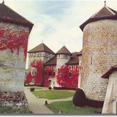
Château de Thorens
8.5 km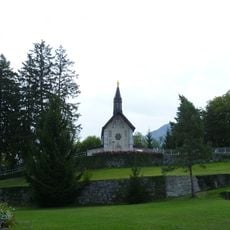
Bénite Fontaine
2.2 km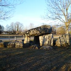
Pierre-aux-Fées
7.1 km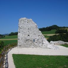
Château de Faucigny
7.5 km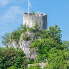
Château de La Roche-sur-Foron
1.7 km
Château d'Arcine
6.1 km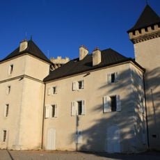
Château de l'Échelle
1.6 km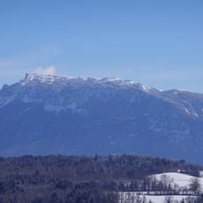
Montagne de Sous-Dine
7.3 km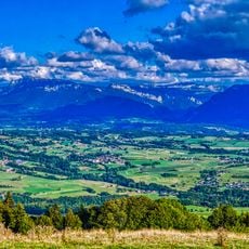
Col d'Évires
3.7 km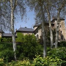
Château d'Arenthon
5.2 km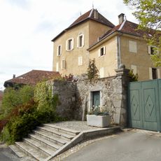
Château du Saix
1.6 km
TNA
6.1 km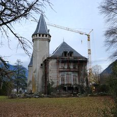
Château de Cohendier
6.5 km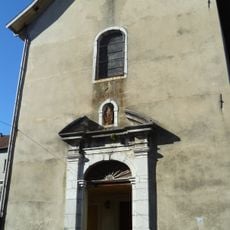
Couvent des Bernardins de La Roche-sur-Foron
1.2 km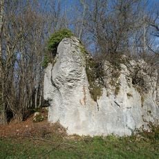
Plaine des Rocailles
6.5 km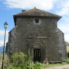
Chapelle de Moussy
2.9 km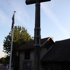
Wayside cross of La Roche-sur-Foron
1.6 km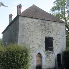
Chapelle de la Maladière-de-Veige
3.6 km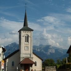
Église Saint-Just de Cornier
3.2 km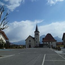
Église Saint-Théodule d'Arenthon
5.4 km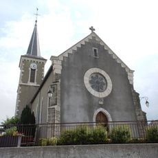
Église Saint-Pierre de Villy-le-Bouveret
10.5 km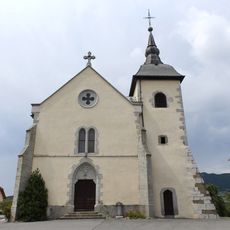
Église Saint-Laurent de Menthonnex-en-Bornes
9.4 km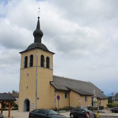
Église Saint-Jean-Baptiste d'Arbusigny
6.5 km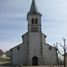
Église Saint-Euchère et Saint-Just de Groisy
10.8 km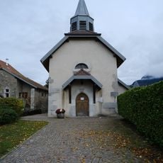
Église Saint-Sixt-II de Saint-Sixt
3.1 km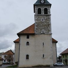
Église Saint-Laurent de Saint-Laurent
5.5 km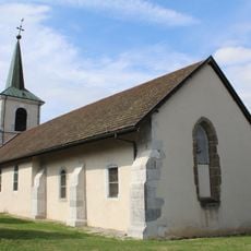
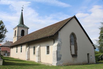
Église Saint-André d'Etaux
59 m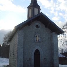
Chapelle de la Marmotte de La Chapelle-Rambaud
5.2 kmReviews
Visited this place? Tap the stars to rate it and share your experience / photos with the community! Try now! You can cancel it anytime.
Discover hidden gems everywhere you go!
From secret cafés to breathtaking viewpoints, skip the crowded tourist spots and find places that match your style. Our app makes it easy with voice search, smart filtering, route optimization, and insider tips from travelers worldwide. Download now for the complete mobile experience.

A unique approach to discovering new places❞
— Le Figaro
All the places worth exploring❞
— France Info
A tailor-made excursion in just a few clicks❞
— 20 Minutes