
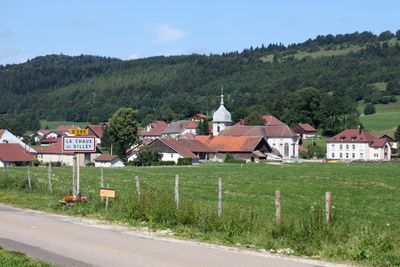
La Chaux, commune in Doubs, France
Location: canton of Montbenoît
Location: Doubs
Location: arrondissement of Pontarlier
Elevation above the sea: 950 m
Shares border with: Gilley, Ouhans, Arçon, Pays-de-Montbenoît, Bugny
Phone: +33381433464
Email: mairiedelachaux@wanadoo.fr
GPS coordinates: 47.02306,6.43250
Latest update: May 24, 2025 17:49
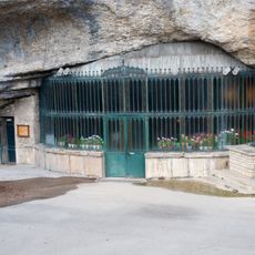
Grotte-chapelle de Remonot
6.2 km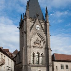
Abbaye de Montbenoît
4.1 km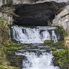
Source de la Loue
10.2 km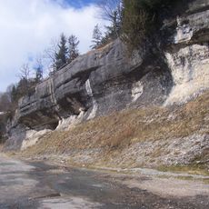
Défilé d'Entre-Roches
4.3 km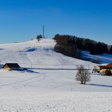
Crêt Monniot
2.2 kmGorges de Remonot
6.2 km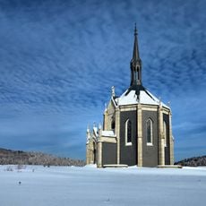
Chapelle Notre-Dame des Anges
10.4 km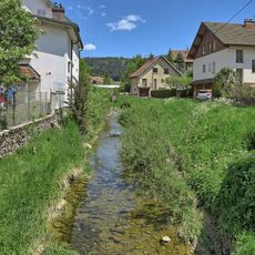
Ruisseau des Lavaux
8 km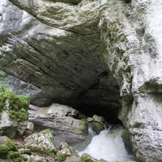
Source du Pontet
10.9 km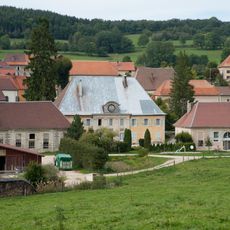
Château d'Aubonne
8 km
École-mairie d'Arc-sous-Cicon
5.1 km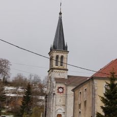
Église Sainte-Foy des Alliés
8.4 km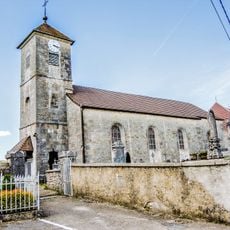
Église Saint-Gorgon de Saint-Gorgon-Main
8.4 km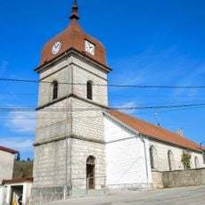
Église du Saint-Esprit de Rémonot
6.3 km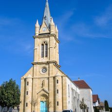
Église Sainte-Anne de Gilley
4.5 km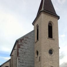
Église de l'Immaculée-Conception de Bugny
6.7 km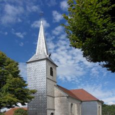
Église de l'Immaculée-Conception de Longemaison
6.8 km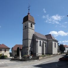
Église Saint-Maurice d'Ouhans
10.8 km
Église Saint-Antide
8.1 km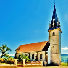
Église Saint-Étienne d'Arc-sous-Cicon
5 km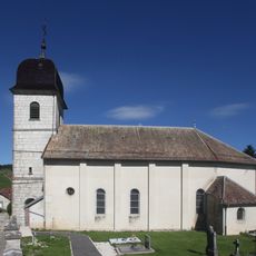
Église de l'Assomption de Lièvremont
5.3 km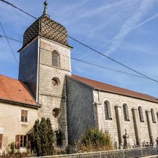
Église de l'Assomption d'Arçon
9.4 km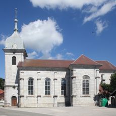
Église Saint-Antide de La Chaux
141 m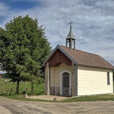
Chapelle du Sausset de Passonfontaine
7.7 km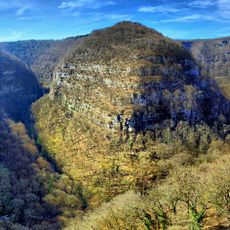
Gorges de Nouailles
10.4 km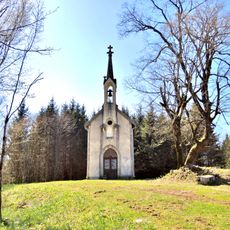
Chapelle Notre-Dame de Vaux Navier
6.3 km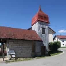
Chapelle Saint-Joseph de Ville-du-Pont
4.1 km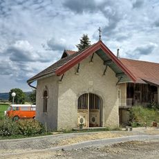
Chapelle Sainte-Anne de Gilley
4.3 kmVisited this place? Tap the stars to rate it and share your experience / photos with the community! Try now! You can cancel it anytime.
Discover hidden gems everywhere you go!
From secret cafés to breathtaking viewpoints, skip the crowded tourist spots and find places that match your style. Our app makes it easy with voice search, smart filtering, route optimization, and insider tips from travelers worldwide. Download now for the complete mobile experience.

A unique approach to discovering new places❞
— Le Figaro
All the places worth exploring❞
— France Info
A tailor-made excursion in just a few clicks❞
— 20 Minutes