Le Plan-de-la-Tour, Medieval commune in Var, France
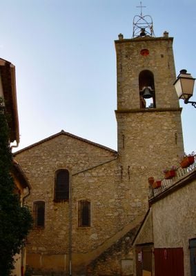
Le Plan-de-la-Tour is a French commune in Var situated among scattered hamlets and wooded terrain in the Maures region. The area consists of several small settlements connected by rural paths with traditional stone buildings throughout.
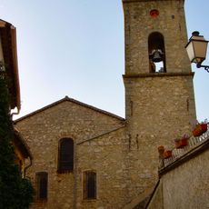
The settlement began in the 16th century when people built homes near water sources to survive the dry season. These early constructions continue to shape the area's appearance today.
The place shapes daily life through connections to agriculture and local production that define how residents relate to their surroundings. Small farms and family businesses show how the community remains linked to its land.
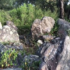
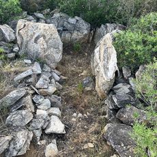
The location lies roughly 15 kilometers from Mediterranean beaches and provides access to forest paths and trails through the surrounding landscape. Visitors should bring comfortable shoes since the area consists of walking paths and rural roads.
The commune divides into roughly 25 distinct hamlets, each forming independent small centers with their own character. This scattered pattern of multiple tiny settlements across the territory creates an unusual layout for the region.
The community of curious travelers
AroundUs brings together thousands of curated places, local tips, and hidden gems, enriched daily by 60,000 contributors worldwide.