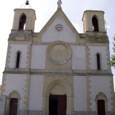
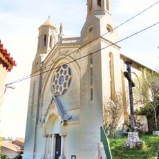
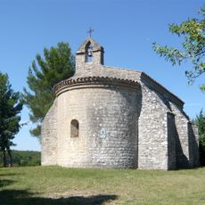
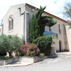
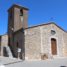
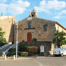
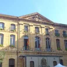
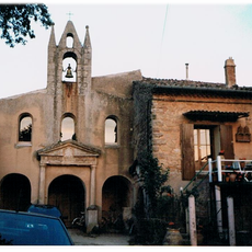
Pourrières, Administrative commune in Provence-Alpes-Côte d'Azur, France.
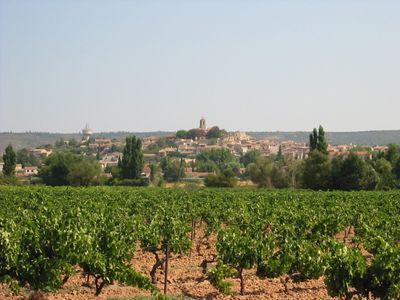
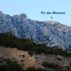
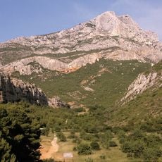
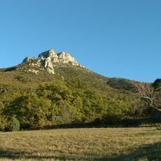
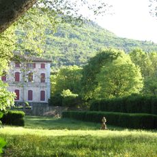
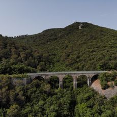
Pourrières is a commune in southeastern France's Provence-Alpes-Côte d'Azur region, spread across rolling terrain with small villages and a rural character. The landscape transitions between lower elevations and higher areas, offering changing views and varied natural surroundings.
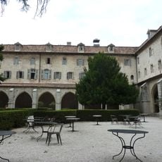
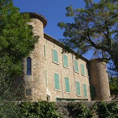
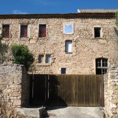
The settlement developed through centuries of agricultural practice, with plant cultivation playing a central role in local life. Population growth accelerated in the twentieth century, bringing modernization and transforming the community into a contemporary center.
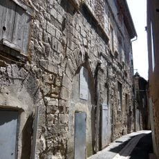
The name reflects ancient connections to medicinal plant cultivation that shaped community identity for generations. Walking through the surroundings, you sense this enduring bond between people and the land that sustained them.
The area is best explored on foot using pathways that connect different elevations and reveal the landscape from various angles. It helps to arrive early or visit in late afternoon to enjoy milder temperatures and explore the surroundings at a comfortable pace.
The area holds quiet forests and meadows that attract walkers seeking escape from major highway corridors passing nearby. Despite proximity to larger urban centers, this place maintains a peaceful quality that often surprises visitors.
GPS coordinates: 43.50359,5.73428
Latest update: December 7, 2025 20:21
Basilique Sainte-Marie-Madeleine de Saint-Maximin-la-Sainte-Baume
11.9 km
Pic des Mouches
8.2 km
Grand Site Sainte-Victoire
10.6 km
Couvent des Dominicains de Saint-Maximin-la-Sainte-Baume
11.9 km
Mont Olympe
8.1 km
Château de Peynier
9.7 km
Église Saint-Jean-Baptiste de Saint-Zacharie
13.4 km
Golf de Nans-Les-Pins
13.4 km
Ancienne synagogue de Trets
7.5 km
Église Notre-Dame-de-Nazareth (Trets)
7.6 km
Église Saint-Pons de Puyloubier
5.3 km
Église Sainte-Anne d'Ollières
8.1 km
Église Saint-Laurent de Nans-les-Pins
15.4 km
Église de l'Immaculée-Conception de Rousset
9.4 km
Église Notre-Dame-de-Nazareth de Rians
11.6 km
Chapelle Saint-Pierre
9.7 km
Église Saint-Pierre de Seillons-Source-d'Argens
12.3 km
Église Saint-Victor de Pourcieux
5.5 km
Isnard pipe organ in Saint-Maximin-la-Sainte-Baume
11.9 km
Église Sainte-Trophime de Pourrières
108 m
Château de Pourcieux
5.7 km
Town hall of Saint-Maximin-la-Sainte-Baume
11.8 km
Chapelle Saint-Roch de Puyloubier
5.2 km
Château de Rougiers
14.9 km
Oratory of Saint-Pilon
12.3 km
Chapelle Notre-Dame-du-Bois, du couvent des Minimes des Hermentaires
1.3 km
Couvent des Minimes de Pourrières
1.3 km
Saint-Maximin Bridge
9.6 kmVisited this place? Tap the stars to rate it and share your experience / photos with the community! Try now! You can cancel it anytime.
Discover hidden gems everywhere you go!
From secret cafés to breathtaking viewpoints, skip the crowded tourist spots and find places that match your style. Our app makes it easy with voice search, smart filtering, route optimization, and insider tips from travelers worldwide. Download now for the complete mobile experience.
A unique approach to discovering new places❞
— Le Figaro
All the places worth exploring❞
— France Info
A tailor-made excursion in just a few clicks❞
— 20 Minutes