Enable Location

We need your location to show you interesting places around you

Discover nearby places

Find interesting locations and hidden gems around you

Precise directions

Get accurate directions and distances to places

Your location is never shared with other users. It's only used when you tap the location button.

Olargues

Log in to your account

Start exploring — it's free

Trusted by 62,478 travelers worldwide

Continue with Google
Continue with Apple
or

We will send you a code to connect

By continuing, you accept our Terms and Conditions and our Privacy Policy

Check your inbox

We've sent a pincode in your inbox. Please enter the code below.

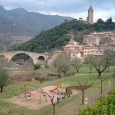
Olargues, Medieval commune in Hérault, France

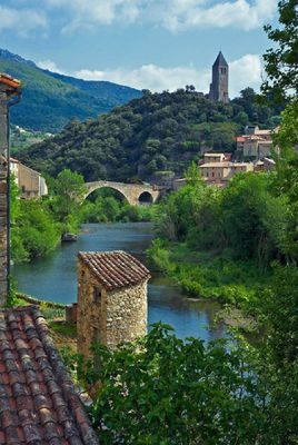
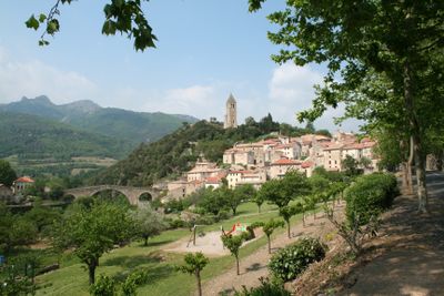
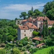
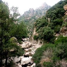
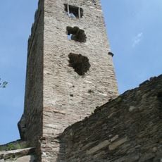
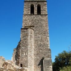
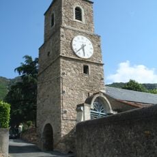
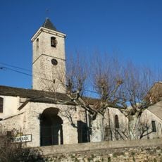
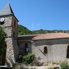
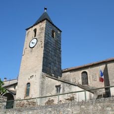
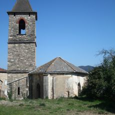
Olargues sits on a rocky outcrop surrounded by a loop of the Jaur River, joining old stone buildings with narrow winding lanes. The settlement rises in levels following the natural slope, with a central tower that shapes its skyline.

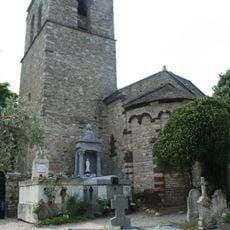
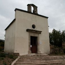
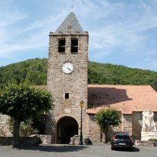
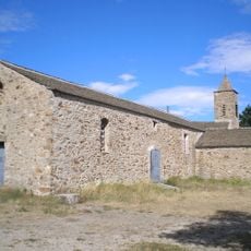
The place grew in the Middle Ages around a military tower, later converted to a bell tower by Cardinal Richelieu's order in the 17th century. This transformation marked a shift from a fortified stronghold to a religious community.

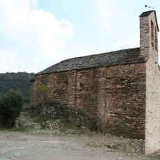
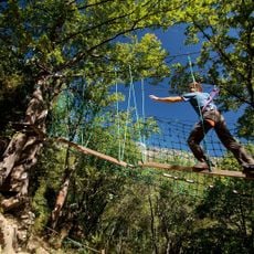
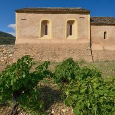
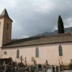
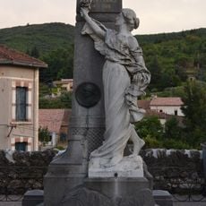
The village preserves local crafts and regional traditions visible in its narrow lanes and old houses. The community gathers in central squares and maintains a living connection between residents and visitors.

The village requires a climb of about 70 meters from the river to reach the upper parts. Parking is available near the village entrance, and flat shoes work best for the cobbled paths.

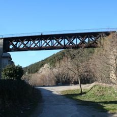
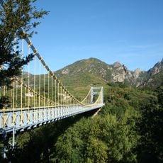
A stone arch bridge from 1202 spans the river and connected the village to the region's broader trade network. This old structure still displays the engineering skill of its time and remains impressive in its construction.

The community of curious travelers

AroundUs brings together thousands of curated places, local tips, and hidden gems, enriched daily by 60,000 contributors worldwide.

Start exploring
Location
Location
Communauté de communes du Minervois au Caroux
Elevation above the sea
148 m
Industry
administration publique générale
Shares border with
Berlou, Mons, Roquebrun, Saint-Étienne-d'Albagnan, Saint-Julien, Saint-Vincent-d'Olargues, Vieussan
Address
34390 Olargues, France
Phone
GPS coordinates
43.55639,2.91472
Latest update
December 6, 2025 16:03
Medieval villages in Occitanie: Cathar castles, limestone gorges, historical sites

Occitanie encompasses an architectural and natural heritage that reflects many centuries of history. Medieval villages are nestled in valleys and on heights, while castles and monasteries tell of the era of the Cathars and religious orders. The region also features remarkable geological formations:...

« Olargues - Medieval commune in Hérault, France » is provided by Around Us (aroundus.com). Images and texts are derived from Wikimedia project under a Creative Commons license. You are allowed to copy, distribute, and modify copies of this page, under the conditions set by the license, as long as this note is clearly visible.

Discover hidden gems everywhere you go!

From secret cafés to breathtaking viewpoints, skip the crowded tourist spots and find places that match your style. Our app makes it easy with voice search, smart filtering, route optimization, and insider tips from travelers worldwide. Download now for the complete mobile experience.

Around Us App Screenshot

A unique approach to discovering new places

Le Figaro

All the places worth exploring

France Info

A tailor-made excursion in just a few clicks

20 Minutes

Around Us
Travel Guide & Maps
Download

Send to your phone

QR Code
1

Open the camera app on your mobile.

2

Point at the QR code with your camera. A notification will appear.

3

Tap the notification to open the link.