Maripasoula, commune in Guyane, France
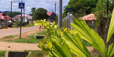
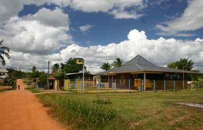
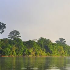
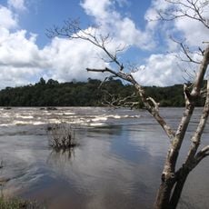
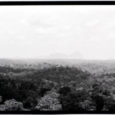
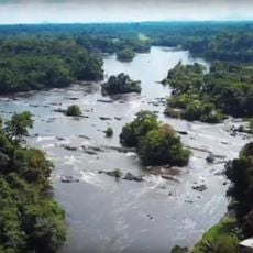
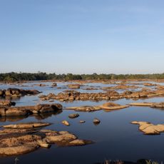
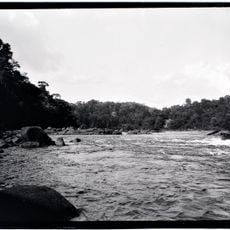
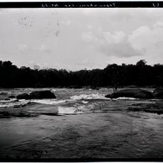
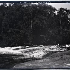
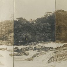
Maripasoula is a commune located in the far western part of French Guiana, positioned directly on the border with Surinam. It sits along the Corantijn River and serves as the administrative center for its canton.
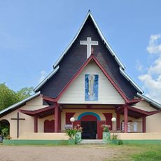
The settlement was founded as a French outpost to secure the colony's western border. Over time it developed into an important administrative station for this remote region.
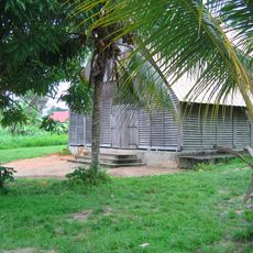
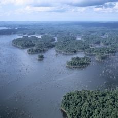
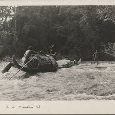
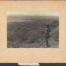
The town is accessible only by river or small aircraft since there are no continuous road connections. Visitors should expect remote conditions and basic infrastructure, making advance planning essential.
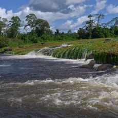
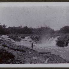
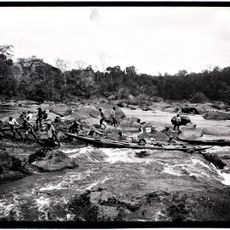
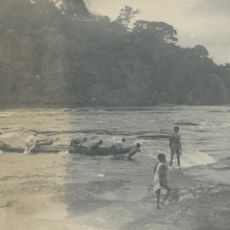
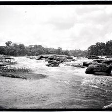
The Corantijn River is more than just a natural border; its currents and seasonal changes constantly shape daily life and accessibility in ways most visitors never expect. This water-centered existence makes the place a singular example of frontier living.
The community of curious travelers
AroundUs brings together thousands of curated places, local tips, and hidden gems, enriched daily by 60,000 contributors worldwide.