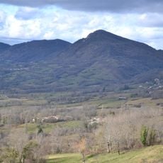
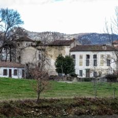
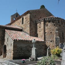
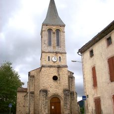
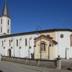
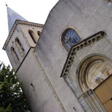
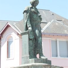
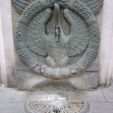
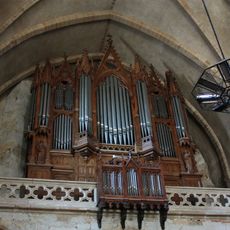
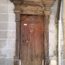
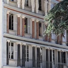
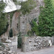
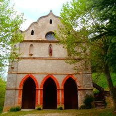
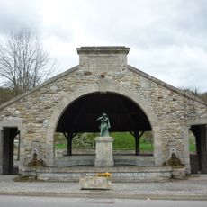
Montgailhard, commune in Ariège, France
Location: canton of Foix-Rural
Location: Ariège
Location: arrondissement of Foix
Elevation above the sea: 442 m
Industry: administration publique générale
Shares border with: Ferrières-sur-Ariège, Foix, Pradières, Prayols, Saint-Paul-de-Jarrat, Soula
Phone: +33561029858
Email: accueil@mairie-montgailhard09.fr
GPS coordinates: 42.93444,1.63472
Latest update: March 6, 2025 03:44
Château de Foix
4.3 km
Devil's Bridge
3.2 km
Abbatiale Saint-Volusien de Foix
4.3 km
Forges de Pyrène
724 m
L'Estive
3.6 km
Pic de l'Aspre
5.5 km
Prefecture hotel of Ariège
4.3 km
Halle aux grains
4 km
Viaduc de l'Alses
5 km
Les Épines de Lespinet
4.2 km
Château de Ganac
5.2 km
Building of the Savings Bank of Foix
4.1 km
Église de l'Assomption de Vernajoul
6.1 km
Église Notre-Dame-de-l'Assomption de Prayols
1.2 km
Église Notre-Dame-de-l'Assomption d'Arabaux
5.6 km
Église Sainte-Madeleine de Soula
5 km
Église Saint-Germier de Saint-Paul-de-Jarrat
3 km
Chapelle Notre-Dame de Montgauzy
3.4 km
Monument to Joseph Lakanal
3.9 km
Forge de Montgaillard
107 m
Fontaine de l'Oie
4.1 km
Foix, abbey church St.Volusien, great organ
4.3 km
Porte d'immeuble
4.2 km
Immeuble dit maison des Cariatides
4.3 km
Château de Loubières
4.9 km
Musée du Château de Foix
4.2 km
Chapelle Notre-Dame de Pla Rouzaud
6.2 km
Fontaine-lavoir de Saint-Paul
3 kmVisited this place? Tap the stars to rate it and share your experience / photos with the community! Try now! You can cancel it anytime.
Discover hidden gems everywhere you go!
From secret cafés to breathtaking viewpoints, skip the crowded tourist spots and find places that match your style. Our app makes it easy with voice search, smart filtering, route optimization, and insider tips from travelers worldwide. Download now for the complete mobile experience.
A unique approach to discovering new places❞
— Le Figaro
All the places worth exploring❞
— France Info
A tailor-made excursion in just a few clicks❞
— 20 Minutes