
Tourmignies, commune in Nord, France
Location: Nord
Location: arrondissement of Lille
Elevation above the sea: 43 m
Shares border with: Avelin, Attiches, Mérignies, Mons-en-Pévèle
Phone: +33320614720
Email: mairie.tourmignies@orange.fr
Website: http://alainduchesne.hautetfort.com
GPS coordinates: 50.50667,3.08417
Latest update: June 11, 2025 19:38
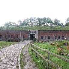
Fort de Seclin
5.9 km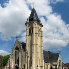
Église Saint-Piat de Seclin
6.2 km
Église Saint-Joseph d'Oignies
6.5 km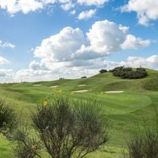
Golf de Mérignies
3.8 km
Historic center of cavalry and artillery at Fort de Seclin
5.9 km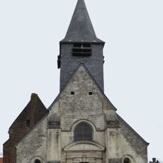
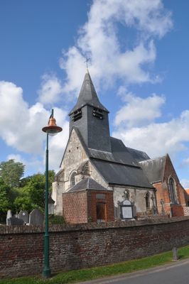
Eglise Saint Pierre de Tourmignies
273 m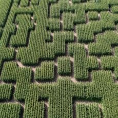
Pop Corn Labyrinthe LILLE
2.8 km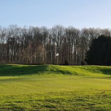
Golf de Thumeries
5.3 km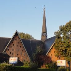
Église Saint-Henri de Libercourt
6.4 km
Église Saint Jean-Baptiste Mons-en-Pévèle
2.7 km
Église Saint-Quentin d'Avelin
3.5 km
Église Saint-Barthélemy de Wahagnies
4.3 km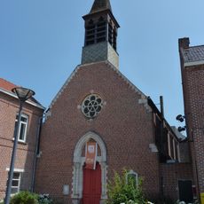
Église Saint-Blaise de La Neuville
2.9 km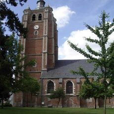
Église Saint-Étienne de Bersée
5 km
Église Saint-Christophe de Phalempin
4.8 km
Église Saint-Amand de Mérignies
1.8 km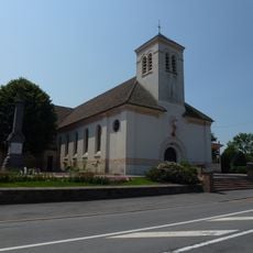
Église Saint-André de Thumeries
3.8 km
Église Saint-Quentin de Pont-à-Marcq
2.7 km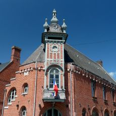
Hôtel de ville de Templeuve
6.4 km
Église Saint-Vaast de Moncheaux
6 km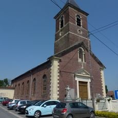
Église Saint-Roch de Faumont
6.5 km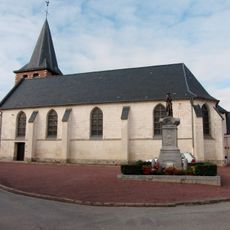
Eglise St-Quentin
5 km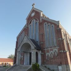
Église Saint-Jacques d'Ostricourt
6.3 km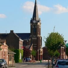
Église Saint-Nicolas de Cappelle-en-Pévèle
6.2 km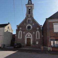
Église Saint-Vincent de Grand Ennetières
5.3 km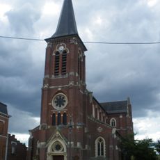
Église Notre-Dame de Libercourt
5.4 km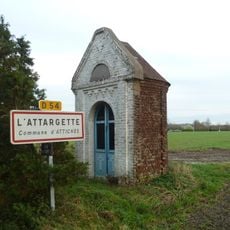
Chapelle de l'Attarguette
1.2 km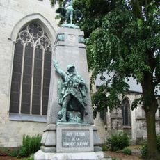
Seclin war memorial
6.2 kmVisited this place? Tap the stars to rate it and share your experience / photos with the community! Try now! You can cancel it anytime.
Discover hidden gems everywhere you go!
From secret cafés to breathtaking viewpoints, skip the crowded tourist spots and find places that match your style. Our app makes it easy with voice search, smart filtering, route optimization, and insider tips from travelers worldwide. Download now for the complete mobile experience.

A unique approach to discovering new places❞
— Le Figaro
All the places worth exploring❞
— France Info
A tailor-made excursion in just a few clicks❞
— 20 Minutes