GR 36, long-distance trail from Ouistreham to Bourg-Madame, France
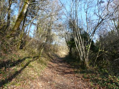
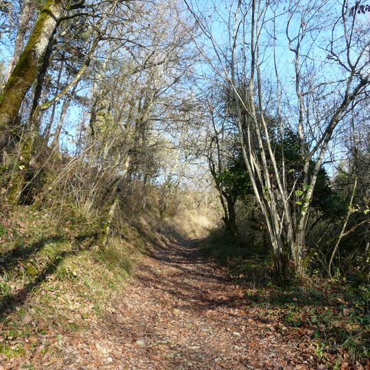
The GR 36 is a long-distance footpath in France that runs from the Normandy coast near Ouistreham to the Spanish border in the Pyrenees. The route crosses varied landscapes with fields, forests, river valleys, and hills, following well-marked trails through numerous small villages and historic sites.
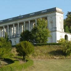
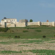
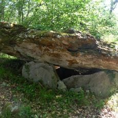
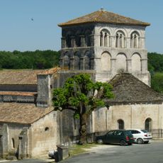
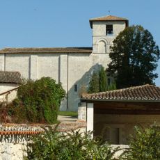
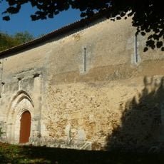
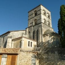
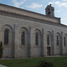
The path follows some ancient trade routes and pilgrim trails used for centuries. Along the way, old bridges, medieval castles, and prehistoric remains mark the long history of the regions it crosses.
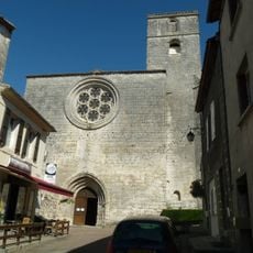
The trail passes through regions with distinct local traditions and connects people through small villages where rural life remains part of daily experience. Visitors encounter locals in cafes and inns along the way, gaining insight into regional customs and how communities stay connected to their landscapes.
The trail is well marked and maintained in most sections but requires sturdy footwear and preparation for varied terrain conditions. Accommodations in guesthouses, small inns, and camping areas are available along the route, and advance planning is advisable.
The GR 36 ends at Bourg-Madame on the Spanish border in the Pyrenees, not on the Mediterranean; its northern end is Ouistreham on the English Channel. The route is waymarked and maintained by volunteer markers, the baliseurs, under the Fédération française de la randonnée pédestre. It crosses the Signal d'Écouves, the highest point of Normandy, where it meets the GR 22.
The community of curious travelers
AroundUs brings together thousands of curated places, local tips, and hidden gems, enriched daily by 94,104 contributors worldwide.