
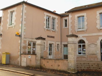
Luant, commune in Indre, France
Location: Indre
Location: arrondissement of Châteauroux
Elevation above the sea: 146 m
Shares border with: Neuillay-les-Bois, Niherne, La Pérouille, Tendu, Velles, Saint-Maur
Address: 2 rue du 11-Novembre, 36350 Luant 36350 36350
Phone: +33254361806
Email: mairie.luant@wanadoo.fr
Website: http://luant.fr
GPS coordinates: 46.73306,1.55861
Latest update: May 26, 2025 11:31

Château de Chabenet
12.9 km
Château Raoul
13.1 km
Église Notre-Dame de Châteauroux
13.2 km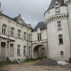
Château du Parc
12.8 km
Abbatiale Saint-Pierre de Méobecq
11.2 km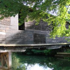
Pont couvert en bois du Pont-Chrétien-Chabenet
13.1 km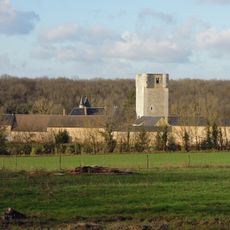
Château de Mazières
11 km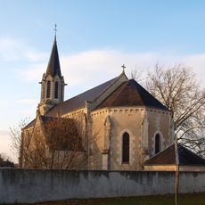
Église Saint-Étienne de Velles
8.5 km
Chapelle Saint-Martin de Châteauroux
13.2 km
Église Saint-Martin d'Arthon
11.6 km
Hôtel de préfecture de l'Indre, Châteauroux
13.1 km
Église Saint-Sulpice de Niherne
10.7 km
Chapelle Saint-Luc de Chasseneuil
10.5 km
Église Notre-Dame du Pont-Chrétien-Chabenet
12.9 km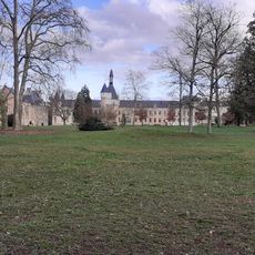
Parc Balsan
12.8 km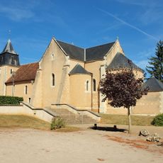
Église Saint-Martin de Chasseneuil
10.7 km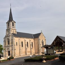
Église de Mosnay
13.5 km
Equinoxe
13.2 km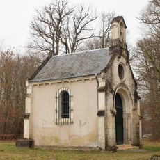
Chapelle de la Bonne-Dame-du-Chêne à Arthon
10.3 km
Église de Luant
74 m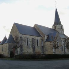
Église Saint-Étienne de Tendu
10 km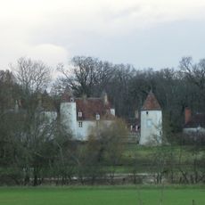
Château de Beauregard
9.1 km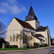
Église de Saint-Maur
10.1 km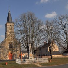
Église Saint-Laurent de Nuret-le-Ferron
11 km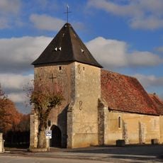
Église Saint-Martin de La Pérouille
4.6 km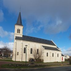
Église Saint-Pierre du Poinçonnet
12.7 km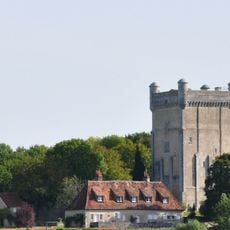
Château de Prunget
11.2 km
Musée du Berry
12.7 kmReviews
Visited this place? Tap the stars to rate it and share your experience / photos with the community! Try now! You can cancel it anytime.
Discover hidden gems everywhere you go!
From secret cafés to breathtaking viewpoints, skip the crowded tourist spots and find places that match your style. Our app makes it easy with voice search, smart filtering, route optimization, and insider tips from travelers worldwide. Download now for the complete mobile experience.

A unique approach to discovering new places❞
— Le Figaro
All the places worth exploring❞
— France Info
A tailor-made excursion in just a few clicks❞
— 20 Minutes