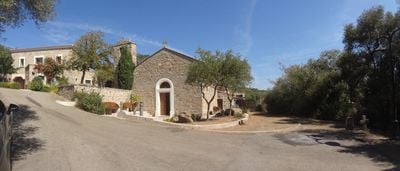
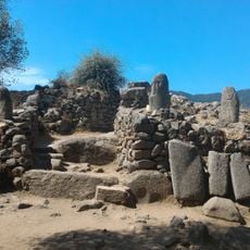
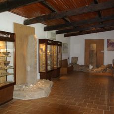
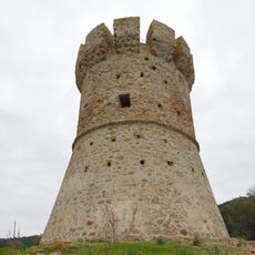
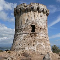
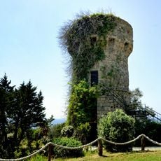
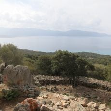
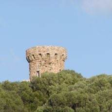
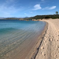
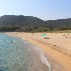
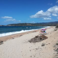
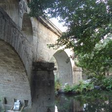
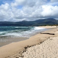
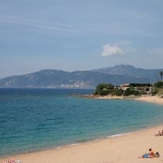
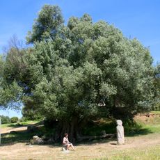
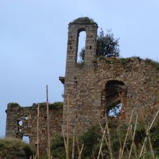
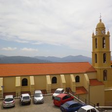
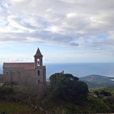
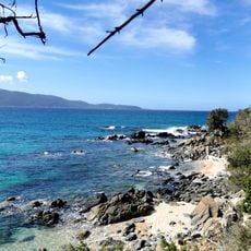
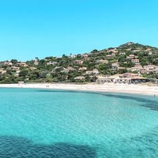
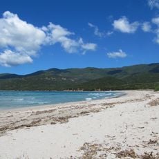
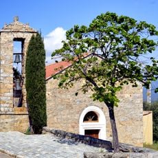
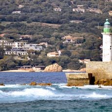
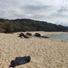
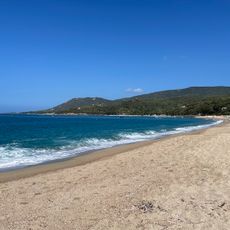
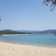
Serra-di-Ferro, commune in Corse-du-Sud, France
Location: canton of Santa-Maria-Siché
Location: Corse-du-Sud
Location: arrondissement of Ajaccio
Elevation above the sea: 100 m
Website: http://www.serra-di-ferro.com
Industry: administration publique générale
Shares border with: Cognocoli-Monticchi, Coti-Chiavari, Olmeto, Sollacaro
Address: Village, 20140 Serra-di-Ferro 20140 20140
Phone: +33495740212
Email: mairie@serradiferro.com
Website: http://serra-di-ferro.com
GPS coordinates: 41.72972,8.79889
Latest update: June 4, 2025 06:46
Filitosa
6.3 km
Musée de Filitosa
6.2 km
Torra di Capannelle
1.5 km
Torra di Capu Neru
7.4 km
Turra di a Calanca
8.6 km
Castello de Contorba
5.7 km
Torra di Micalona
3.7 km
Plage de Verghia
9.3 km
Plage Scodi Neri
5.6 km
Tenutella Beach
4.1 km
Calzola Bridge
10 km
Plage de Capu Laurosu
9.8 km
Plage de Portigliolo
9 km
Olivier millénaire
6.3 km
Couvent Saint-Antoine d'Olmeto
10.2 km
Col de Cannicciu
6 km
Église Santa Maria d'Olmeto
10 km
Plage du Ruesco
7.1 km
Église Saint-Jean-Baptiste de Coti-Chiavari
5.4 km
Plage Piscona
6.2 km
Plage de Ruppione
9.8 km
Plage de Cupabia
2.1 km
Église Sant'Antonu de Serra-di-Ferro
138 m
Scogliu Longu Lighthouse
10 km
Plage de la Calanca
8.9 km
Plage de Campitellu
8.1 km
Plage d'Agliu
7.6 km
I Calanchi
4.4 kmReviews
Visited this place? Tap the stars to rate it and share your experience / photos with the community! Try now! You can cancel it anytime.
Discover hidden gems everywhere you go!
From secret cafés to breathtaking viewpoints, skip the crowded tourist spots and find places that match your style. Our app makes it easy with voice search, smart filtering, route optimization, and insider tips from travelers worldwide. Download now for the complete mobile experience.
A unique approach to discovering new places❞
— Le Figaro
All the places worth exploring❞
— France Info
A tailor-made excursion in just a few clicks❞
— 20 Minutes