Enable Location

We need your location to show you interesting places around you

Discover nearby places

Find interesting locations and hidden gems around you

Precise directions

Get accurate directions and distances to places

Your location is never shared with other users. It's only used when you tap the location button.

Saint-Bonnet-le-Courreau

Log in to your account

Start exploring — it's free

Trusted by 61,983 travelers worldwide

Continue with Google
Continue with Apple
or

We will send you a code to connect

By continuing, you accept our Terms and Conditions and our Privacy Policy

Check your inbox

We've sent a pincode in your inbox. Please enter the code below.

Saint-Bonnet-le-Courreau

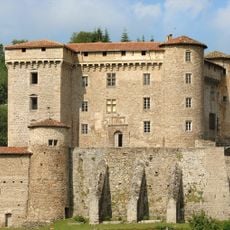
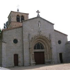
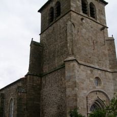
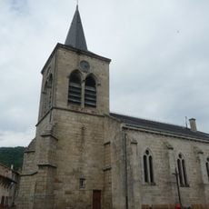
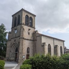
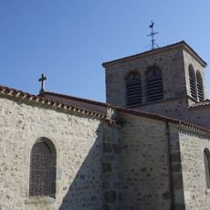
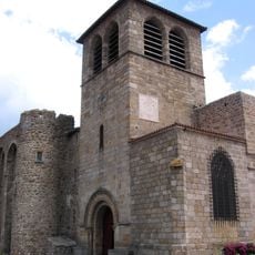
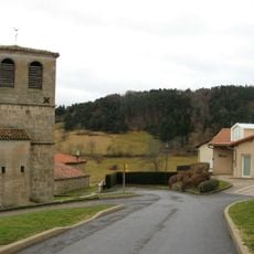
Saint-Bonnet-le-Courreau, Mountain commune in Loire, France

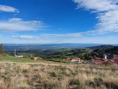
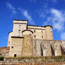
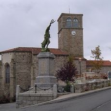
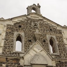
Saint-Bonnet-le-Courreau is a small mountain village commune in the Loire region of central France with varied terrain. The landscape shifts between forested slopes and open areas, with the settlement positioned at elevations spanning roughly 500 to 1,500 meters.

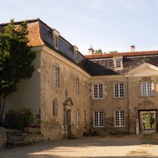
The village underwent significant change during the 20th century as rural populations migrated to cities. This shift has shaped how the settlement has evolved since then.

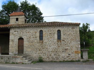
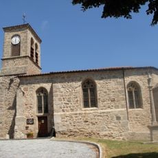
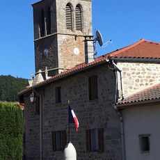
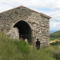
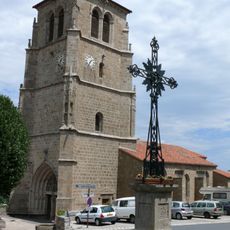
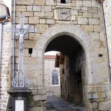
The village sits in the foothills of the Loire mountains, where residents maintain traditional practices through local gatherings and seasonal events. Daily life here follows the rhythms and patterns of mountain living.

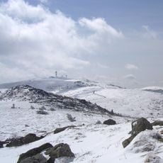
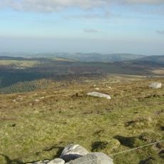
The location sits on elevated terrain with good views across surrounding valleys and hills, which helps with orientation. Access through the mountain region is possible, though visitors should anticipate winding roads and changing weather conditions.

From this elevated position, observers can see the distant outline of Mont Blanc on clear days. This rare sightline reveals just how high up this location truly sits.

The community of curious travelers

AroundUs brings together thousands of curated places, local tips, and hidden gems, enriched daily by 60,000 contributors worldwide.

Start exploring
Location
Location
arrondissement of Montbrison
Location
Loire Forez Agglomération
Elevation above the sea
969 m
Shares border with
Job, Saint-Anthème, Valcivières, Châtelneuf, Marcilly-le-Châtel, Marcoux, Pralong, Roche-en-Forez, Saint-Georges-en-Couzan, Sauvain
Address
30 route de Fraisse, 42940 Saint-Bonnet-le-Courreau
Phone
GPS coordinates
45.66028,3.94389
Latest update
December 11, 2025 18:06
« Saint-Bonnet-le-Courreau - Mountain commune in Loire, France » is provided by Around Us (aroundus.com). Images and texts are derived from Wikimedia project under a Creative Commons license. You are allowed to copy, distribute, and modify copies of this page, under the conditions set by the license, as long as this note is clearly visible.

Discover hidden gems everywhere you go!

From secret cafés to breathtaking viewpoints, skip the crowded tourist spots and find places that match your style. Our app makes it easy with voice search, smart filtering, route optimization, and insider tips from travelers worldwide. Download now for the complete mobile experience.

Around Us App Screenshot

A unique approach to discovering new places

Le Figaro

All the places worth exploring

France Info

A tailor-made excursion in just a few clicks

20 Minutes

Around Us
Travel Guide & Maps
Download

Send to your phone

QR Code
1

Open the camera app on your mobile.

2

Point at the QR code with your camera. A notification will appear.

3

Tap the notification to open the link.