Hurepoix, Natural and historical region in Île-de-France, France.
Hurepoix is a natural region stretching between Paris and Orléans in southern Île-de-France, defined by plateaus and river valleys. Multiple waterways including the Yvette, Bièvre, Essonne, and Orge flow through the territory, shaping its geography and character.
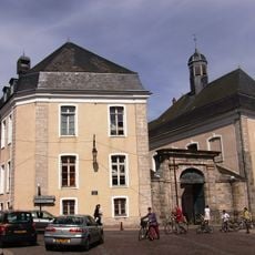
Hurepoix emerged in the 12th century as a strategic territory between Paris and Orléans, with Dourdan serving as its administrative hub. This location between two major cities made the region an important point for commerce and controlling access to surrounding lands.
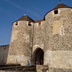
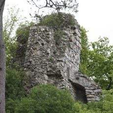
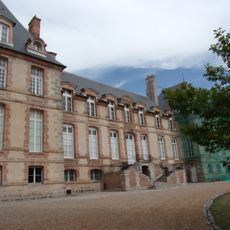
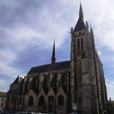
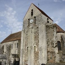
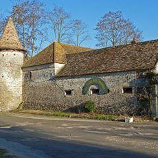
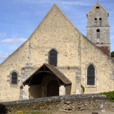
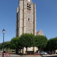
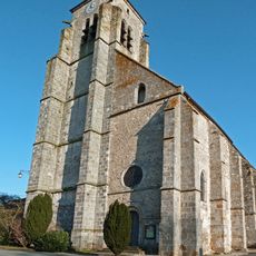
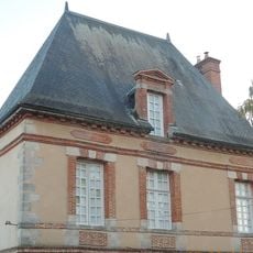
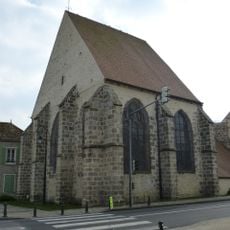
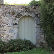
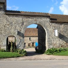
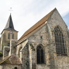
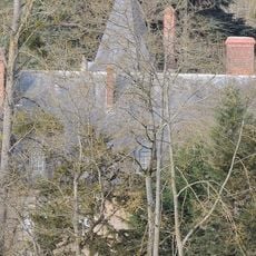
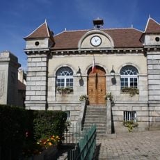
The area contains several castles built by French nobles that still shape the landscape today. These grand estates reflect how wealthy families once chose to settle and establish their power in this region.
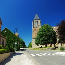
The area can be explored by car or on foot through its villages and scattered estates, with varying levels of infrastructure. The eastern section offers more services and facilities, while the western part remains more rural and requires patience to navigate between different sites.
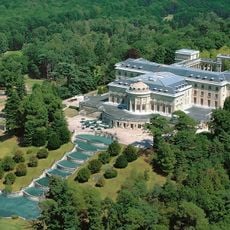
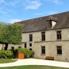
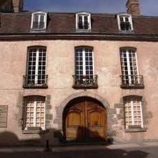
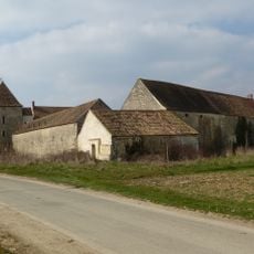
The region long remained known more for farming than for its castles, which gained prominence only later as leisure retreats for wealthy families. Today the area shows an unexpected mix of agricultural land and modern development, revealing how rural zones near Paris gradually transformed over centuries.
The community of curious travelers
AroundUs brings together thousands of curated places, local tips, and hidden gems, enriched daily by 60,000 contributors worldwide.