Enable Location

We need your location to show you interesting places around you

Discover nearby places

Find interesting locations and hidden gems around you

Precise directions

Get accurate directions and distances to places

Your location is never shared with other users. It's only used when you tap the location button.

Quai d'Orsay

Log in to your account

Start exploring — it's free

Trusted by 60,663 travelers worldwide

Continue with Google
Continue with Apple
or

We will send you a code to connect

By continuing, you accept our Terms and Conditions and our Privacy Policy

Check your inbox

We've sent a pincode in your inbox. Please enter the code below.

Quai d'Orsay

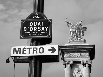
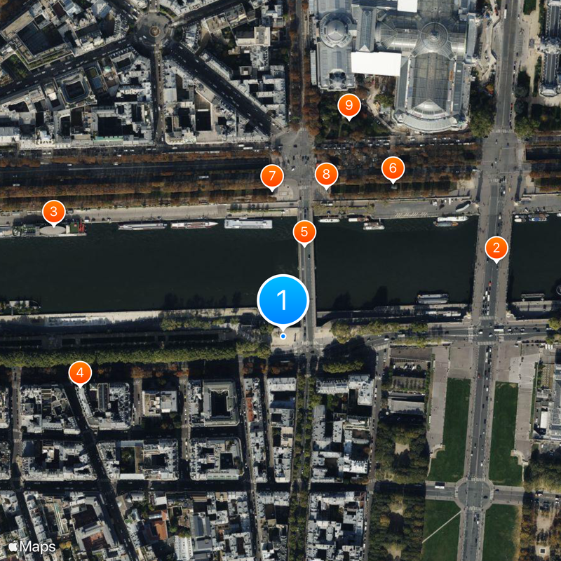
Quai d'Orsay, Riverfront in 7th arrondissement, France

Description

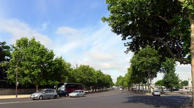
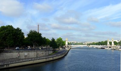
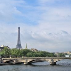
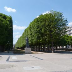
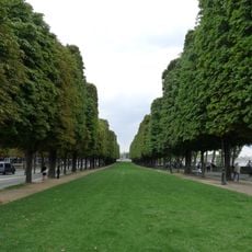
Quai d'Orsay is a riverfront along the left bank of the Seine in the 7th arrondissement of Paris, France, extending 1,270 meters and measuring 29 meters in width. Plane trees accompany the paved walkway, while stone parapets mark the edge toward the river.

History

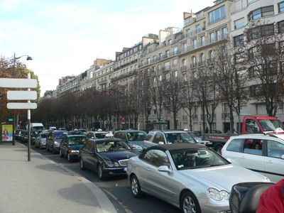
The riverfront was created starting in 1705 as part of the fortification of the left bank of the Seine and initially served as a storage area for wood and building materials. In the 19th century, the street was expanded and turned into a representative link between Pont de la Concorde and Pont des Invalides.

Culture

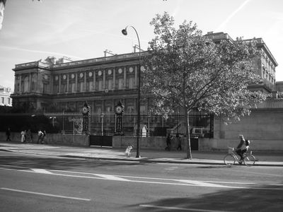
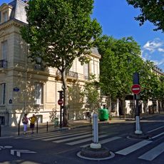
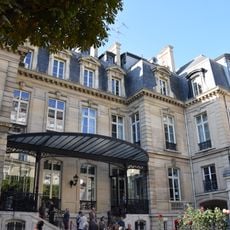
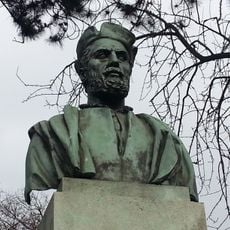
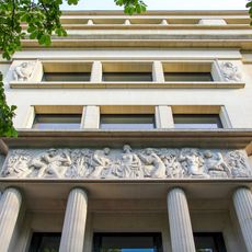
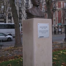
The avenue takes its name from the village of Orsay, which once stood outside the city gates and served as a departure point for journeys to the southwest. Government buildings and historic houses now line the street, which has become synonymous with French diplomacy.

Practical

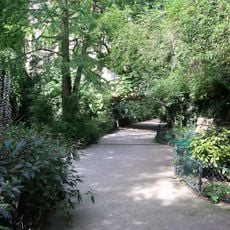
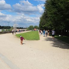
Several bus lines and the Solférino metro station offer direct access to the riverfront and connect it with other parts of the city. Wide sidewalks allow for comfortable walking, while benches under the trees provide resting spots.

Did you know?

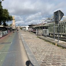
Several boats moored along the riverfront serve permanently as floating restaurants and cultural centers. These péniches have become fixed places in Parisian life and offer exhibitions, concerts, and theater performances directly on the water.

Location
Location
Inception
1705
Length
1,270 m
Width
29 m
Part of
road network of Paris
Shares border with
Avenue Bosquet, avenue du Maréchal-Gallieni, avenue Sully-Prudhomme, boulevard de La Tour-Maubourg, boulevard Saint-Germain, quai Anatole-France, quai Branly, rue Aristide-Briand, rue Desgenettes, rue Fabert, rue Henri-Moissan, rue Jean-Nicot, rue Malar, rue Robert-Esnault-Pelterie, rue Surcouf, Pont Alexandre III, Pont de la Concorde, pont de l'Alma, place de Finlande, place de la Résistance, Promenade Gisèle-Halimi
GPS coordinates
48.86278,2.31000
Latest update
December 17, 2025 09:57

AroundUs brings together thousands of curated places, local tips, and hidden gems, enriched daily by 60,000 contributors worldwide. Discover all places nearby (7th arrondissement of Paris).

« Quai d'Orsay - Riverfront in 7th arrondissement, France » is provided by Around Us (aroundus.com). Images and texts are derived from Wikimedia project under a Creative Commons license. You are allowed to copy, distribute, and modify copies of this page, under the conditions set by the license, as long as this note is clearly visible.

Discover hidden gems everywhere you go!

From secret cafés to breathtaking viewpoints, skip the crowded tourist spots and find places that match your style. Our app makes it easy with voice search, smart filtering, route optimization, and insider tips from travelers worldwide. Download now for the complete mobile experience.

Around Us App Screenshot

A unique approach to discovering new places

Le Figaro

All the places worth exploring

France Info

A tailor-made excursion in just a few clicks

20 Minutes

Around Us
Travel Guide & Maps
Download

Send to your phone

QR Code
1

Open the camera app on your mobile.

2

Point at the QR code with your camera. A notification will appear.

3

Tap the notification to open the link.