
Champniers, commune in Vienne, France
Location: Vienne
Location: arrondissement of Montmorillon
Elevation above the sea: 148 m
Industry: administration publique générale
Shares border with: Savigné, Blanzay, La Chapelle-Bâton, Romagne, Saint-Romain
Phone: +33549870736
Email: champniers@departement86.fr
GPS coordinates: 46.21778,0.33694
Latest update: April 27, 2025 19:09
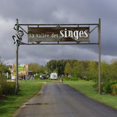
La Vallée des Singes
4.6 km
La Vallée des Singes
4.4 km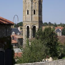
Charroux Abbey
9.8 km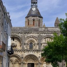
Église Saint-Nicolas de Civray
8.3 km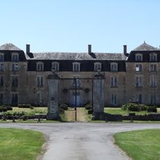
Château d'Épanvilliers
12.1 km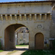
Château de Léray
11 km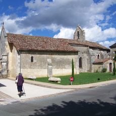
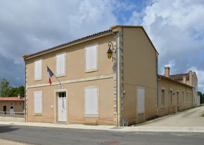
Église Saint-Martin de Champniers
22 m
Pierre Pèse de Limalonges
12.6 kmÉglise Saint-Pierre de La Chapelle-Bâton
5.7 km
Labyrinthe Végétal
3.7 km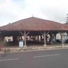
Halles de Charroux
9.7 km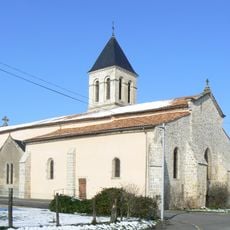
Église Saint-Gervais-et-Saint-Protais de Champagné-Saint-Hilaire
11.3 km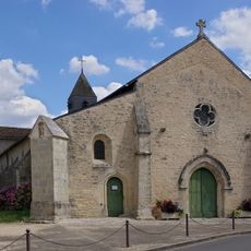
Église Saint-Laurent de Romagne
6.5 km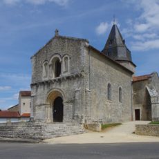
Église Notre-Dame de Genouillé
12.3 km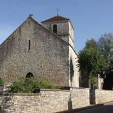
Église Saint-Martin de Brux
11.2 km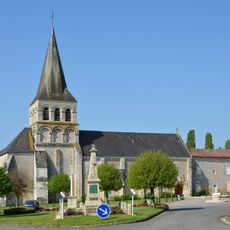
Église Saint-Hilaire de Savigné
6.8 km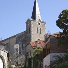
Église Saint-Sulpice de Charroux
10 km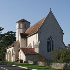
Église Saint-Hilaire de Blanzay
6.6 km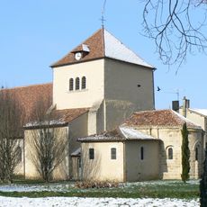
Église Saint-Gaudent de Sommières-du-Clain
6.8 km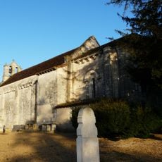
Église Saint-Pierre
9.1 km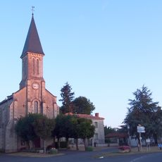
Église Saint-Jean-Baptiste de Joussé
10.4 km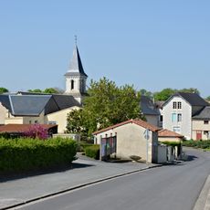
Église Saint-Romain de Saint-Romain
2.2 km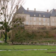
Château de Sommières-du-Clain
6.7 km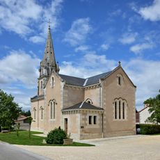
Église Saint-Gaudent de Saint-Gaudent
11.9 km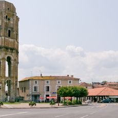
Abbatiale Saint-Sauveur de Charroux
9.8 km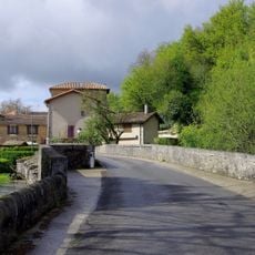
Pont de La Millière
9.2 km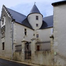
Hôtel Louis XIII, Civray
8.4 km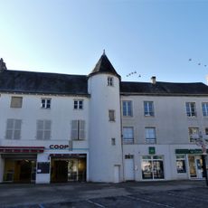
Maison à tourelle, place d'Armes, Civray
8.4 kmVisited this place? Tap the stars to rate it and share your experience / photos with the community! Try now! You can cancel it anytime.
Discover hidden gems everywhere you go!
From secret cafés to breathtaking viewpoints, skip the crowded tourist spots and find places that match your style. Our app makes it easy with voice search, smart filtering, route optimization, and insider tips from travelers worldwide. Download now for the complete mobile experience.

A unique approach to discovering new places❞
— Le Figaro
All the places worth exploring❞
— France Info
A tailor-made excursion in just a few clicks❞
— 20 Minutes