Limagne, Natural plain in Puy-de-Dôme, France.
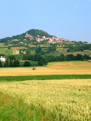
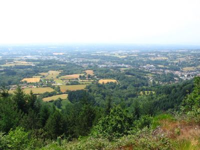
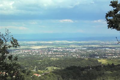
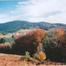
Limagne is a plain in the Auvergne region that stretches along the Allier River valley, creating a vast agricultural zone between mountain ranges. The landscape is defined by flat, open fields surrounded by highlands, forming a continuous cultivated territory across the area.
This plain formed roughly 35 million years ago when the earth's bedrock fractured, creating a deep depression that gradually filled with sediments. This geologic event was part of larger processes that shaped the landscape you see today.
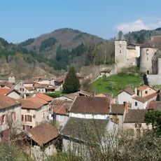
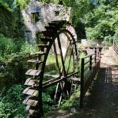
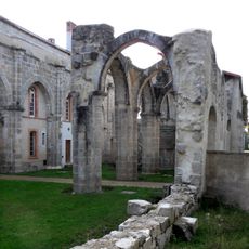
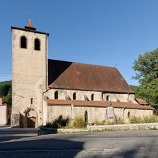
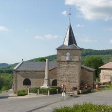
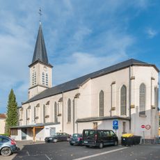
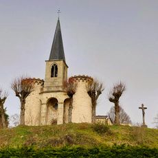
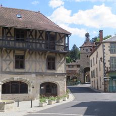
Farming has shaped this land for generations, with grain fields covering the plains and vineyards rooted at its edges in places like Corent and Châteaugay. Walking through the region, you see how agriculture remains woven into the daily rhythm of life.
The region is served by multiple transport routes connecting major cities and providing access to farming areas and geological sites. Traveling by car is the best way to explore the different parts of the plain and the surrounding highlands.
The sediment layers beneath the plain reach enormous depths, making this area part of the European Cenozoic Rift System. While invisible from the surface, this hidden geology is why the land remains so flat and suited for farming.
The community of curious travelers
AroundUs brings together thousands of curated places, local tips, and hidden gems, enriched daily by 60,000 contributors worldwide.