
Dry, commune in Loiret, France
Location: canton of Cléry-Saint-André
Location: Loiret
Location: arrondissement of Orléans
Elevation above the sea: 94 m
Shares border with: Meung-sur-Loire, Baule, Cléry-Saint-André, Jouy-le-Potier, Lailly-en-Val
Phone: +33238457107
Email: accueil@mairie-dry.fr
Website: http://mairie-dry.fr
GPS coordinates: 47.79667,1.71389
Latest update: June 11, 2025 20:23

Castle of Meung-sur-Loire
3.3 km
Basilica of Our Lady, Cléry
4.1 km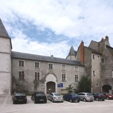
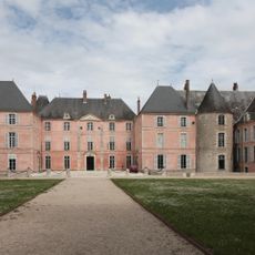
Château de Dunois
6.4 km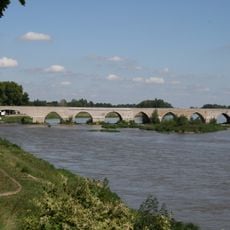
Pont de Beaugency
6.2 km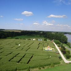
Labyrinthe de Beaugency
5.4 km
Abbaye Notre-Dame de Beaugency
6.3 km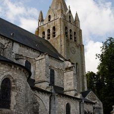
Collégiale Saint-Liphard de Meung-sur-Loire
3.3 km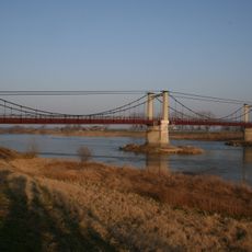
Pont de Meung-sur-Loire
3 km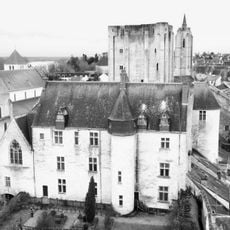
Château de Beaugency
6.4 km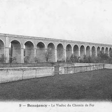
Viaduc ferroviaire de Beaugency
6.5 km
Maison des Templiers
6.5 km
Hôtel de Ville de Beaugency
6.5 km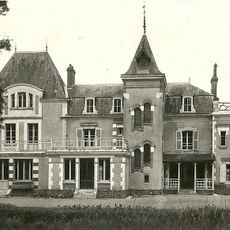
Château du Mariau
4.4 km
Arboretum des Prés des Culands
3.3 km
Les jardins de Roquelin
3.7 km
Building of the Savings Bank of Beaugency
6.5 km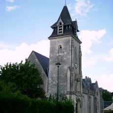
Église Saint-Avit de Mézières-lez-Cléry
7.1 km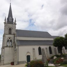
Église Notre-Dame de Dry
146 m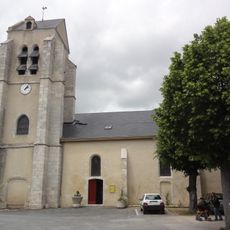
Église Saint-Sulpice de Lailly-en-Val
3.6 km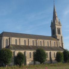
Église Saint-Aignan de Baule
3.6 km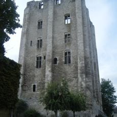
Tour de César, Beaugency
6.4 km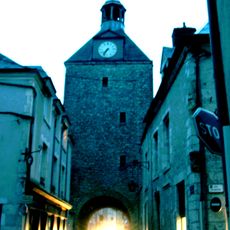
Tour de l'Horloge
6.6 km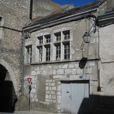
Prison de Beaugency
6.5 km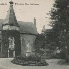
Hospice de Beaugency
6.5 km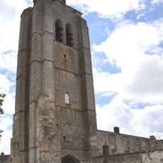
Tour Saint-Firmin
6.5 km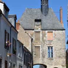
Porte d'Amont
3.6 km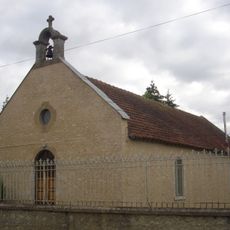
Chapelle Saint-Vincent de la Nivelle
5.3 km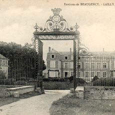
Château de Pully
7.6 kmReviews
Visited this place? Tap the stars to rate it and share your experience / photos with the community! Try now! You can cancel it anytime.
Discover hidden gems everywhere you go!
From secret cafés to breathtaking viewpoints, skip the crowded tourist spots and find places that match your style. Our app makes it easy with voice search, smart filtering, route optimization, and insider tips from travelers worldwide. Download now for the complete mobile experience.

A unique approach to discovering new places❞
— Le Figaro
All the places worth exploring❞
— France Info
A tailor-made excursion in just a few clicks❞
— 20 Minutes