Chest opened
+${chestReward.xp} XP
Explorer
NOUVEAU ×${chestReward.collectible.quantity}
tapez pour fermer
Chest locked

Open chests in the app

Around Us is built for your phone — chests unlock when you walk, explore and capture nearby places.

Enable Location

We need your location to show you interesting places around you

Discover nearby places

Find interesting locations and hidden gems around you

Precise directions

Get accurate directions and distances to places

Your location is never shared with other users. It's only used when you tap the location button.

Log in to your account

Start exploring — it's free

Trusted by 72,881 travelers worldwide

Continue with Google
Continue with Apple
or

We will send you a code to connect

By continuing, you accept our Terms and Conditions and our Privacy Policy

Check your inbox

We've sent a pincode in your inbox. Please enter the code below.

Glaserberg
Discussion Reviews Photo
2k Popularity

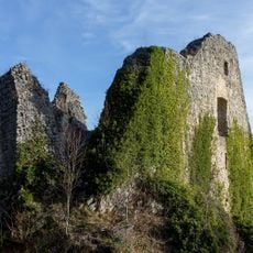
Glaserberg, Mountain summit in Haut-Rhin, France

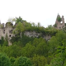
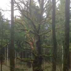
Glaserberg is a wooded ridge rising to 816 meters that runs east to west along the Franco-Swiss border in the Haut-Rhin region. The mountain has three distinct peaks and takes on an anticlinal structure shaped by natural erosion over time.

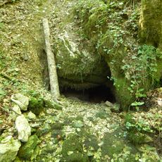
The mountain formed through geological processes that created an anticlinal formation, which was later hollowed out by erosion beneath the Lutter forest. Over millions of years, these natural forces shaped the ridge into its current distinctive form.

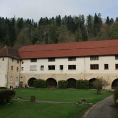
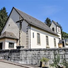
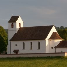
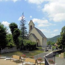
The mountain sits at a cultural crossroads where French and Swiss traditions meet in the landscape and daily use of the trails. Visitors from both sides of the border walk these paths, making it a place where two nations feel close together.

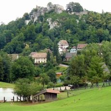
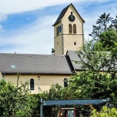
Several hiking routes connect the summit to nearby villages like Ligsdorf, Raedersdorf, and Lutter, with clear trail markers helping visitors navigate. The paths range in difficulty and are accessible from multiple starting points, allowing visitors to choose based on their preferences and fitness level.

The mountain holds three separate peaks and serves as the origin for two major rivers, the Ill and the Largue, both flowing from its northern slopes. Standing atop this ridge, visitors witness how water naturally divides at this boundary point to feed two important waterways.

The community of curious travelers

AroundUs brings together thousands of curated places, local tips, and hidden gems, enriched daily by 60,000 contributors worldwide.

Start exploring
Location
Elevation above the sea
816 m
Part of
Jura alsacien
GPS coordinates
47.45098,7.27959
Latest update
December 14, 2025 09:40
Reviews
Share your experience

No review yet

Discussions
Start a discussion...

No discussion yet

« Glaserberg - Mountain summit in Haut-Rhin, France » is provided by Around Us (aroundus.com). Images and texts are derived from Wikimedia project under a Creative Commons license. You are allowed to copy, distribute, and modify copies of this page, under the conditions set by the license, as long as this note is clearly visible.

Discover hidden gems everywhere you go!

From secret cafés to breathtaking viewpoints, skip the crowded tourist spots and find places that match your style. Our app makes it easy with voice search, smart filtering, route optimization, and insider tips from travelers worldwide. Download now for the complete mobile experience.

Around Us App Screenshot

A unique approach to discovering new places

Le Figaro

All the places worth exploring

France Info

A tailor-made excursion in just a few clicks

20 Minutes

Around Us
Travel Guide & Maps
Download

Send to your phone

QR Code
1

Open the camera app on your mobile.

2

Point at the QR code with your camera. A notification will appear.

3

Tap the notification to open the link.