
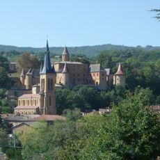
Jarnioux, commune in Rhône, France
Location: Rhône
Location: arrondissement of Villefranche-sur-Saône
Location: Porte des Pierres Dorées
Elevation above the sea: 327 m
Shares border with: Cogny, Theizé, Ville-sur-Jarnioux, Lacenas, Porte des Pierres Dorées
Website: http://jarnioux.fr
GPS coordinates: 45.96472,4.62722
Latest update: June 15, 2025 01:00
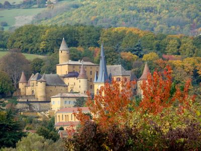
Château de Jarnioux
94 m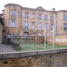
Château de Rochebonne
2.8 km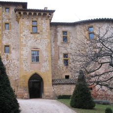
Château de Rapetour
3.3 km
Château du Sou
2.1 km
Château de Montauzan
3.7 km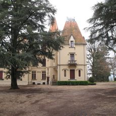
Château de l'Éclair
3 km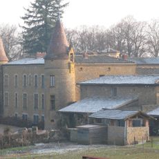
Château de Bionnay
3.4 km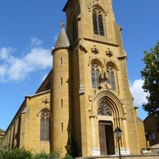
Église Saint-Antoine de Theizé
2.9 km
Foundation of the Covenant
3 km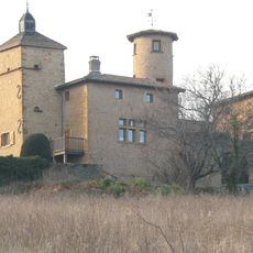
Maison forte des Grand'Maisons
2.1 km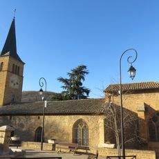
Église Saint-Martin de Ville-sur-Jarnioux
1.4 km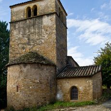
Église Notre-Dame-du-Sou de Saint-Paul
2.3 km
Clos de la Platière
3.5 km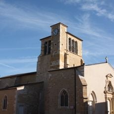
Église Saint-Éloi de Liergues
2.9 km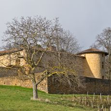
Manoir d'Épeisse
2.7 km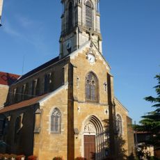
Église Saint-Germain de Cogny
2.5 km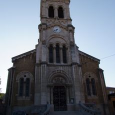
Église de la Nativité-de-Saint-Jean-Baptiste de Lacenas
3.4 km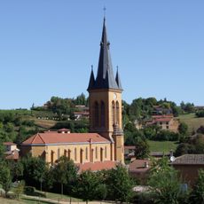
Église Saint-Étienne de Jarnioux
130 m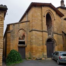
Chapelle Sainte-Catherine de Jarnioux
59 m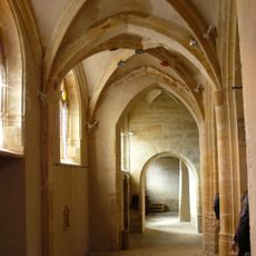
Vieille église de Theizé
2.9 km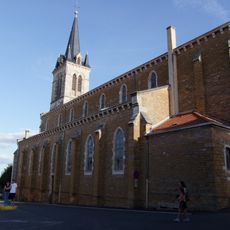
Église Saint-Pancrace de Denicé
4.3 km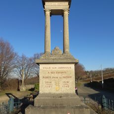
War memorial of Ville-sur-Jarnioux
1.3 km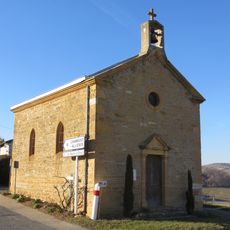
Chapelle Saint-Roch de Ville-sur-Jarnioux
1.5 km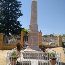
War memorial of Theizé
2.9 km
Château de Bois Franc
1.3 km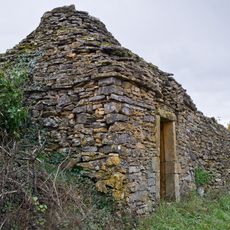
Cabanes en pierre sèche de Theizé
2.2 km
Château de la Garde
372 m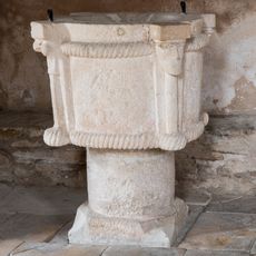
Fonts baptismaux de l'église Notre-Dame-du-Sou de Saint-Paul
2.3 kmReviews
Visited this place? Tap the stars to rate it and share your experience / photos with the community! Try now! You can cancel it anytime.
Discover hidden gems everywhere you go!
From secret cafés to breathtaking viewpoints, skip the crowded tourist spots and find places that match your style. Our app makes it easy with voice search, smart filtering, route optimization, and insider tips from travelers worldwide. Download now for the complete mobile experience.

A unique approach to discovering new places❞
— Le Figaro
All the places worth exploring❞
— France Info
A tailor-made excursion in just a few clicks❞
— 20 Minutes