
Dignac, commune in Charente, France
Location: canton of Villebois-Lavalette
Location: Charente
Location: Arrondissement of Angoulême
Elevation above the sea: 170 m
Shares border with: Dirac, Rougnac, Sers, Torsac, Magnac-lès-Gardes
Phone: +33545245035
Email: mairie@dignac.fr
GPS coordinates: 45.55639,0.28028
Latest update: June 2, 2025 09:47

Château de la Mercerie
6.8 km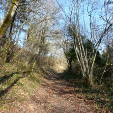
GR 36
6.4 km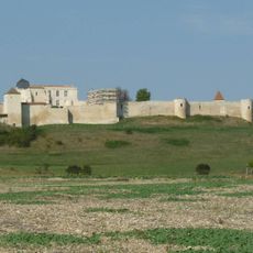
Château de Villebois-Lavalette
8 km
La Quina
5.6 km
Château de la Tranchade
7.7 km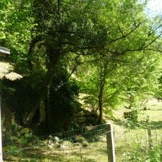
Roc de Sers
4.3 km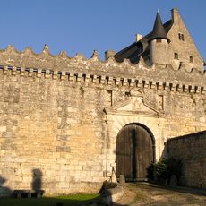
Château de Vouzan
6.9 km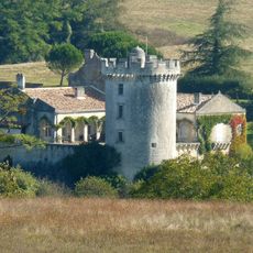
Château du Repaire, Rougnac
6.8 km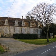
Château de Bouëx
7.1 km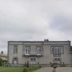
Tour du Breuil
1 km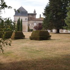
Château du Pouyaud
1.1 km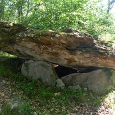
Nécropole d'Édon
8.3 km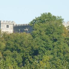
Logis de Nanteuil
4.6 km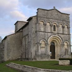
Église Saint-Martial
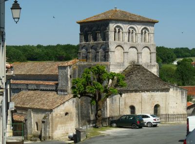
6 kmÉglise Saint-Cybard de Dignac
135 m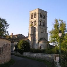
Église Saint-Pierre de Sers
5.8 km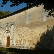
Église Saint-Pierre (Rougnac)
6.5 km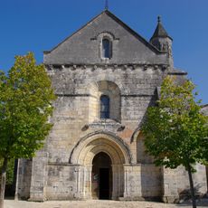
Église Saint-Aignan
5.1 km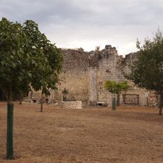
Église Notre-Dame de l'Houme
7.4 km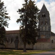
Église Notre-Dame de Gardes
7.4 km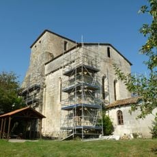
Église Saint-Étienne de Magnac-Lavalette-Villars
6.6 km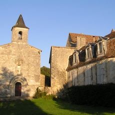
St Étienne church
7.1 km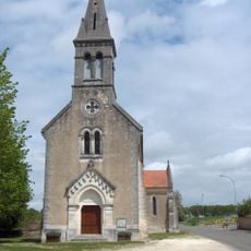
Église Saint-Etienne de Vouzan
7.7 km
Les Petites Chaumes
6.8 km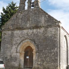
Église Saint-Sulpice de Cloulas
2.4 km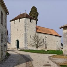
Église de Villars
4 km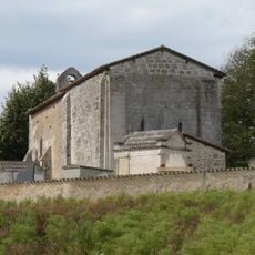
Église Notre-Dame-de-la-Nativité de Beaulieu
3.6 km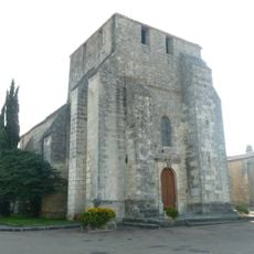
Église Saint-Maurice de Fouquebrune
6.3 kmVisited this place? Tap the stars to rate it and share your experience / photos with the community! Try now! You can cancel it anytime.
Discover hidden gems everywhere you go!
From secret cafés to breathtaking viewpoints, skip the crowded tourist spots and find places that match your style. Our app makes it easy with voice search, smart filtering, route optimization, and insider tips from travelers worldwide. Download now for the complete mobile experience.

A unique approach to discovering new places❞
— Le Figaro
All the places worth exploring❞
— France Info
A tailor-made excursion in just a few clicks❞
— 20 Minutes