Lamure-sur-Azergues

Log in to your account

AroundUs is a community-driven map of interesting places, built by curious explorers like you. It grows with every review, story, and photo you share.
Connect to save your favorite spots, contribute locations, and create personalized routes.
By continuing, you accept our Terms and Conditions and our Privacy Policy

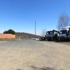
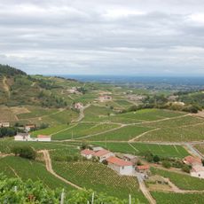
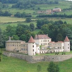
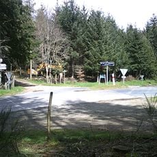
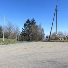
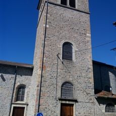
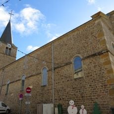
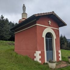
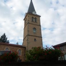
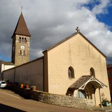
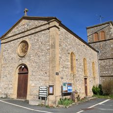
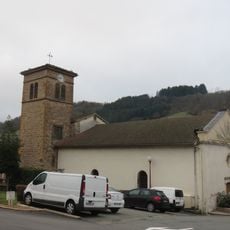
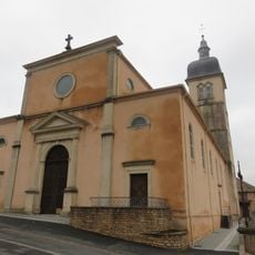
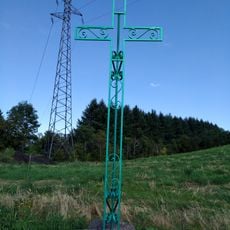
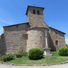
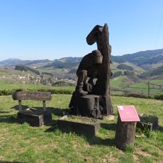
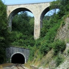
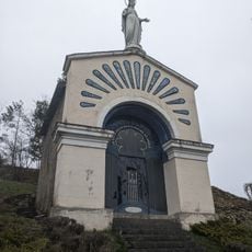
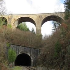
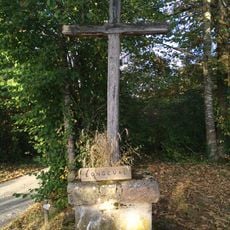
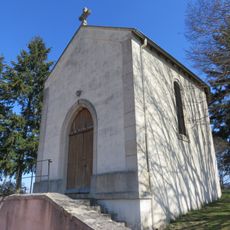
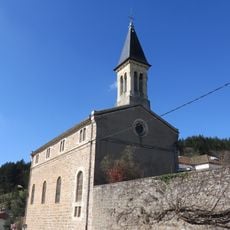
Lamure-sur-Azergues, commune in Rhône, France

Location: Rhône

Location: arrondissement of Villefranche-sur-Saône

Location: departmental district of the Rhône

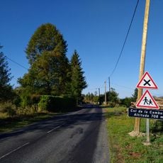
Elevation above the sea: 541 m

Shares border with: Claveisolles, Chambost-Allières, Saint-Cyr-le-Chatoux, Saint-Nizier-d'Azergues, Vaux-en-Beaujolais, Grandris

Address: 69870 Lamure-sur-Azergues, France 69870 Lamure-sur-Azergues 69870 Lamure-sur-Azergues

Phone: +33474030271

Email: mairie@lamuresurazergues.com

Website: http://lamuresurazergues.com

GPS coordinates: 46.06250,4.49194

Latest update: June 14, 2025 08:02

Reviews

Visited this place? Tap the stars to rate it and share your experience / photos with the community! Try now! You can cancel it anytime.

« Lamure-sur-Azergues - commune in Rhône, France » is provided by Around Us (aroundus.com). Images and texts are derived from Wikimedia project under a Creative Commons license. You are allowed to copy, distribute, and modify copies of this page, under the conditions set by the license, as long as this note is clearly visible.

Discover hidden gems everywhere you go!

From secret cafés to breathtaking viewpoints, skip the crowded tourist spots and find places that match your style. Our app makes it easy with voice search, smart filtering, route optimization, and insider tips from travelers worldwide. Download now for the complete mobile experience.

Around Us App Screenshot

A unique approach to discovering new places

Le Figaro

All the places worth exploring

France Info

A tailor-made excursion in just a few clicks

20 Minutes