Beaujolais Geopark, UNESCO Geopark in Rhône, France
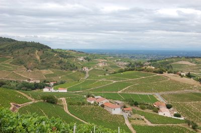
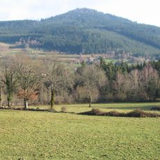
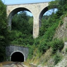
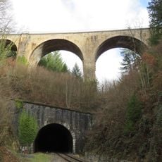
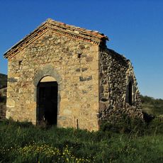
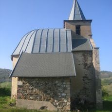
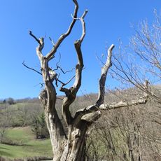
Beaujolais Geopark spans a large protected area in eastern France with diverse landscapes shaped by ancient volcanic activity and mountain building over millions of years. The terrain varies from flat valleys to rolling slopes with forests and higher mountain zones.
The area gained UNESCO Geopark status in 2018, recognizing its geological layers that span 500 million years. This designation came after thorough scientific research documenting how complex the region's rock formations really are.
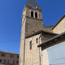
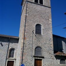
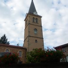
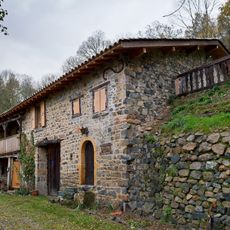
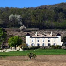
Wine making shapes how people here live and work, with vineyards covering the slopes in a rhythm that connects families to the land. This tradition gives the region its character and identity.
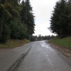
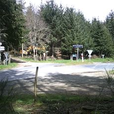
The area is accessed via marked trails that connect different geological sites and viewpoints for exploring rock formations up close. Maps and information are available on site to help plan visits and navigate through the various zones.
The area holds traces of three different landscape zones, each telling its own geological story through rocks and terrain. Together these zones show how natural forces shaped this part of France over vast stretches of time.
Location: Ain
Location: Haute-Loire
Location: Rhône
Location: Saône-et-Loire
Inception: April 17, 2018
Website: https://geopark-beaujolais.com
GPS coordinates: 46.10800,4.53300
Latest update: December 14, 2025 13:08
Col de la Croix Rosier
3.3 km
Château de Varennes
4.3 km
Col de la Casse Froide
1.5 km
Mont Tourvéon
6 km
Église Saint-Nicolas de Beaujeu
6.7 km
Col de la Croix Montmain
5.4 km
Maison à pans de bois de Beaujeu
6.7 km
Col de la Croix de Marchampt
1.4 km
Musée des arts et traditions populaires Marius Audin
6.6 km
Église Saint-Pierre de Quincié-en-Beaujolais
6.5 km
Église Saint-Nizier de Saint-Nizier-d'Azergues
5.6 km
Église de la Nativité-de-Saint-Jean-Baptiste de Marchampt
3 km
Église Saint-Martin de Lamure-sur-Azergues
6 km
Chapelle Notre-Dame de Montcharme
5.6 km
Église Saint-Laurent de Claveisolles
3.1 km
Church of Lafont
4.2 km
Ferme de Vernay
5.6 km
Église Saint-Jacques de Vernay
5.5 km
Boucle de Claveisolles
4.5 km
Saint-Nizier-d'Azergues Viaduct
4.5 km
Chapelle Saint-Émillian de Varennes
4 km
Chapelle Notre-Dame dite de Cremasson de Marchampt
2.4 km
War memorial of Quincié-en-Beaujolais
6.5 km
Cloître Sainte-Angèle
6.7 km
Le Gros Châtaignier
1.6 km
Chapelle dite du Prince de Beaujeu
6.7 km
Chapelle de l'Hôtel-Dieu de Beaujeu
6.7 km
Château du Souzy
6.7 kmVisited this place? Tap the stars to rate it and share your experience / photos with the community! Try now! You can cancel it anytime.
Discover hidden gems everywhere you go!
From secret cafés to breathtaking viewpoints, skip the crowded tourist spots and find places that match your style. Our app makes it easy with voice search, smart filtering, route optimization, and insider tips from travelers worldwide. Download now for the complete mobile experience.
A unique approach to discovering new places❞
— Le Figaro
All the places worth exploring❞
— France Info
A tailor-made excursion in just a few clicks❞
— 20 Minutes