Enable Location

We need your location to show you interesting places around you

Discover nearby places

Find interesting locations and hidden gems around you

Precise directions

Get accurate directions and distances to places

Your location is never shared with other users. It's only used when you tap the location button.

Col de la Croix Rosier

Log in to your account

Start exploring — it's free

Trusted by 63,075 travelers worldwide

Continue with Google
Continue with Apple
or

We will send you a code to connect

By continuing, you accept our Terms and Conditions and our Privacy Policy

Check your inbox

We've sent a pincode in your inbox. Please enter the code below.

Col de la Croix Rosier
Discussion Reviews 1 Photos
2k Popularity

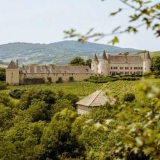
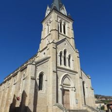
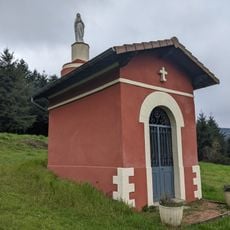
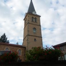
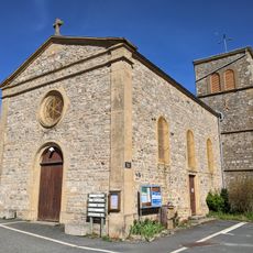
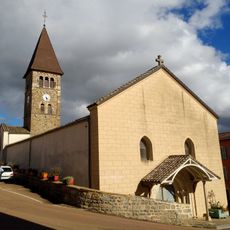
Col de la Croix Rosier, Road mountain pass in Claveisolles, France.

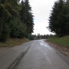
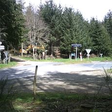
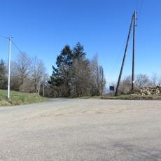
Col de la Croix Rosier is a mountain pass located in the Beaujolais region between Claveisolles and Le Perréon. The road rises through a series of hairpin turns with varying gradients as it climbs to the summit.

The pass was established as a connection between the two communities and has long served as an important route through the valley. Over time, its role shifted as it became a destination for cyclists seeking challenging climbs.

The pass draws cycling enthusiasts who gather for group rides up the climb. These regular events have become part of the local identity and connect visitors with the surrounding community.

The road is well maintained year-round with light traffic, making it suitable for extended cycling trips. Allow extra time for the steep sections and watch for tight curves, especially in the lower part of the climb.

The pass features four distinct hairpin curves that give the road its distinctive character. One section stands out for its particularly steep gradient, presenting a notable challenge for cyclists navigating it.

The community of curious travelers

AroundUs brings together thousands of curated places, local tips, and hidden gems, enriched daily by 60,000 contributors worldwide.

Start exploring
Location
Location
Elevation above the sea
721 m
GPS coordinates
46.08003,4.54882
Latest update
December 14, 2025 09:44
Reviews
Share your experience

No review yet

Discussions
Start a discussion...

No discussion yet

« Col de la Croix Rosier - Road mountain pass in Claveisolles, France » is provided by Around Us (aroundus.com). Images and texts are derived from Wikimedia project under a Creative Commons license. You are allowed to copy, distribute, and modify copies of this page, under the conditions set by the license, as long as this note is clearly visible.

Discover hidden gems everywhere you go!

From secret cafés to breathtaking viewpoints, skip the crowded tourist spots and find places that match your style. Our app makes it easy with voice search, smart filtering, route optimization, and insider tips from travelers worldwide. Download now for the complete mobile experience.

Around Us App Screenshot

A unique approach to discovering new places

Le Figaro

All the places worth exploring

France Info

A tailor-made excursion in just a few clicks

20 Minutes

Around Us
Travel Guide & Maps
Download

Send to your phone

QR Code
1

Open the camera app on your mobile.

2

Point at the QR code with your camera. A notification will appear.

3

Tap the notification to open the link.