
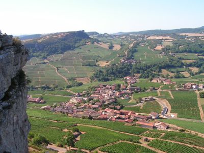
Vergisson, commune in Saône-et-Loire, France
Location: Saône-et-Loire
Location: Mâconnais Beaujolais Agglomération
Location: arrondissement of Mâcon
Elevation above the sea: 386 m
Shares border with: Bussières, Cenves, Davayé, Prissé, Serrières, Solutré-Pouilly
Phone: +33385358396
Email: mairie@vergisson.fr
Website: http://vergisson.fr
GPS coordinates: 46.30889,4.71556
Latest update: June 2, 2025 14:28
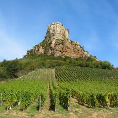
Rock of Solutré
1.1 km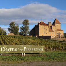
Château de Pierreclos
3.3 km
Château de Monceau
4 km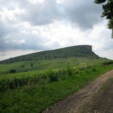
Rock of Vergisson
624 m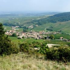
Parc archéologique et botanique de Solutré
1.3 km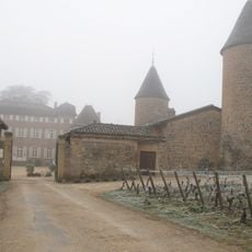
Château de Chasselas
3.8 km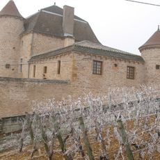
Château de Pouilly
2.5 km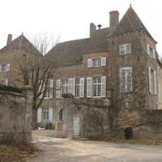
Château de Rossan
2.5 kmChâteau de la Combe
2.3 km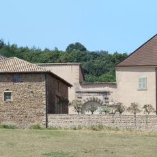
Château des Essertaux
2.3 km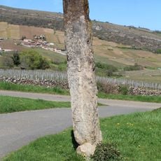
Menhir de Chancerons
576 m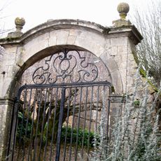
Château de Chevignes
2.8 km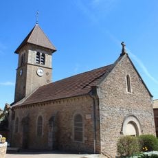
Église Saint-Pierre de Solutré
1.5 km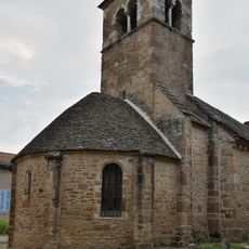
Église de la Conversion-de-Saint-Paul de Bussières
3.5 km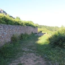
Gisement préhistorique de Solutré
1.3 km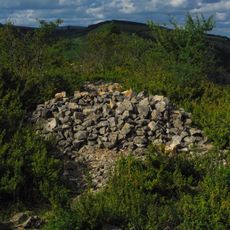
Camp retranché à éperon barré de Bussières
3.9 km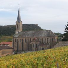
Église Saint-Martin de Vergisson
89 m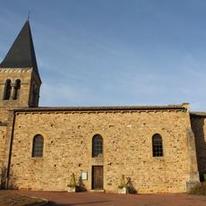
Église Saint-Jacques-le-Majeur de Serrières
2.6 km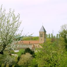
Église Saint-Martin de Prissé
2.6 km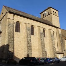
Église Saint-Martin de Pierreclos
3.5 km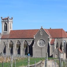
Église Saint-Germain de Fuissé
3.8 km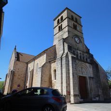
Église Saint-Julien de Davayé
2 km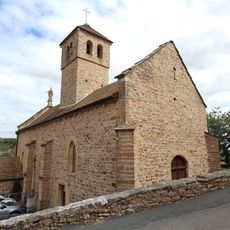
Église Notre-Dame de Chasselas
3.7 km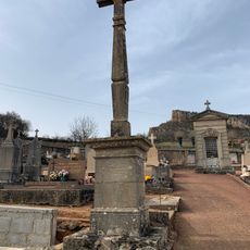
Cemetery cross of Solutré-Pouilly
1.6 km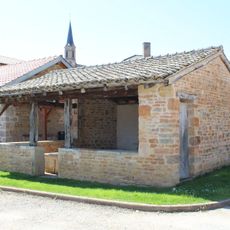
Lavoir de Vergisson
81 m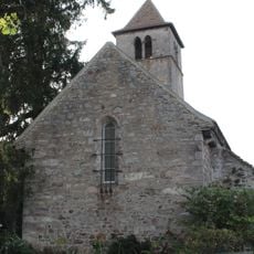
Chapelle Saint-Fiacre de la Grange du Bois
2.2 km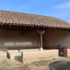
Lavoir of Pierreclos
3.4 km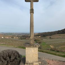
Croix de Nanche
1.7 kmVisited this place? Tap the stars to rate it and share your experience / photos with the community! Try now! You can cancel it anytime.
Discover hidden gems everywhere you go!
From secret cafés to breathtaking viewpoints, skip the crowded tourist spots and find places that match your style. Our app makes it easy with voice search, smart filtering, route optimization, and insider tips from travelers worldwide. Download now for the complete mobile experience.

A unique approach to discovering new places❞
— Le Figaro
All the places worth exploring❞
— France Info
A tailor-made excursion in just a few clicks❞
— 20 Minutes