
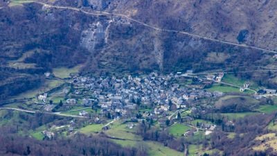
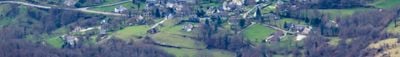
Boutx, commune in Haute-Garonne, France
Location: canton of Saint-Béat
Location: Haute-Garonne
Location: arrondissement of Saint-Gaudens
Inception: August 1, 1974
Elevation above the sea: 1,214 m
Shares border with: Saint-Lary, Argut-Dessous, Bezins-Garraux, Fos, Melles, Portet-d'Aspet, Razecueillé, Saint-Béat-Lez, Sengouagnet, Eup, Arguenos
Phone: +33561794081
Email: mairie.boutx@wanadoo.fr
GPS coordinates: 42.91778,0.71556
Latest update: June 13, 2025 23:46
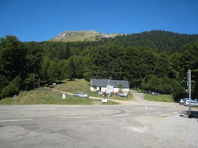
Pic de Cagire
5.2 km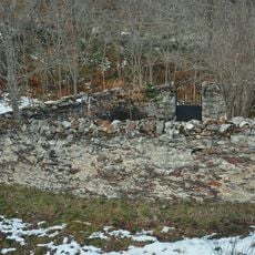
Teresa's Cemetery
9.3 km
Pic du Gar
3.9 km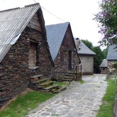
Sant Joan de Toran
12.3 km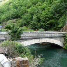
Pont de Rei
7.9 km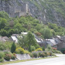
Château de Saint-Béat
1.9 km
Pic Saillant
3.8 km
Jardin botanique pyrénéen de Melles
6.5 km
Petrechema
2 km
Église de Marignac
4.7 km
Arribèra deth Garona
9.7 km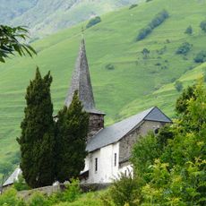
Sant Pere de Bausen
9.3 km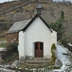
Sant Roc de Bausen
9.3 km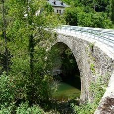
Pont de Pontaut
9.3 km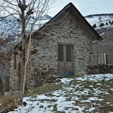
Santa Anna de Bausen
9.5 km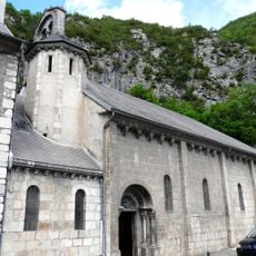
Église Saint-Béat Saint-Privat
1.9 km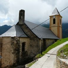
Sant Joan i Sant Cerní de Tolosa
9 km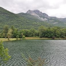
Lac de Géry
3.3 km
Casa Toquera
9.2 km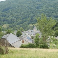
Église Saint-Roch de Portet-d'Aspet
12.5 km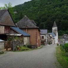
Église Saint-Hilaire de Saint-Lary
14.7 km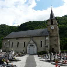
Église de Fos
5.5 km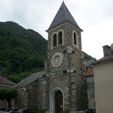
Église Saint-Jacques de Chaum
5.3 km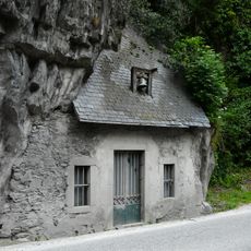
Chapelle Saint-Roch de Saint-Béat
2 km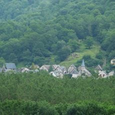
Église de l'Assomption de Lez
1.6 km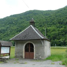
Chapelle du Batan
5 km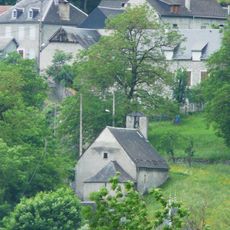
Chapelle de Ladivert
2.4 km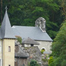
Chapelle de Géry
3.6 kmReviews
Visited this place? Tap the stars to rate it and share your experience / photos with the community! Try now! You can cancel it anytime.
Discover hidden gems everywhere you go!
From secret cafés to breathtaking viewpoints, skip the crowded tourist spots and find places that match your style. Our app makes it easy with voice search, smart filtering, route optimization, and insider tips from travelers worldwide. Download now for the complete mobile experience.

A unique approach to discovering new places❞
— Le Figaro
All the places worth exploring❞
— France Info
A tailor-made excursion in just a few clicks❞
— 20 Minutes