Pic de Cagire, Mountain summit in Haute-Garonne, France.
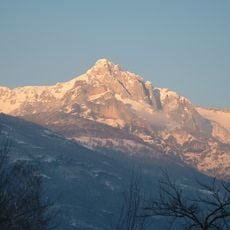
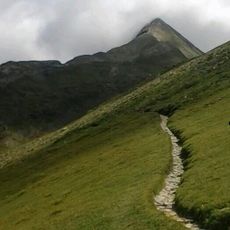
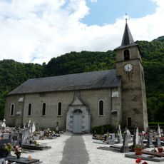
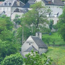
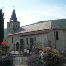
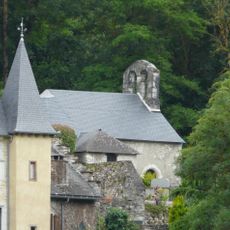
Pic de Cagire is a mountain summit in the French Pyrenees, located in the Haute-Garonne department, just under 1,900 meters (6,200 feet) in elevation. It sits between the communes of Juzet-d'Izaut and Sengouagnet, positioned at the front edge of the range rather than deep within it.
The summit was already being mapped and described in the 1800s, when early accounts mentioned possible ancient stone structures near the top. Those early reports sparked local debate about the history of the site, a question that has never been fully settled.
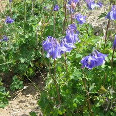
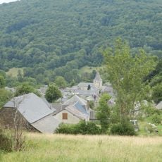
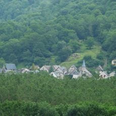
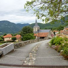
The name Cagire comes from proto-Basque roots linked to stone and high ground. From the top, visitors can see how the peak acts as a natural reference point for the villages spread across the valleys below.
Starting from the Col de Buret parking area gives a clear approach through forested terrain before reaching open ground near the top. The trail is most comfortable from late spring through early fall, when snow has generally cleared and weather tends to be more settled.
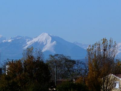
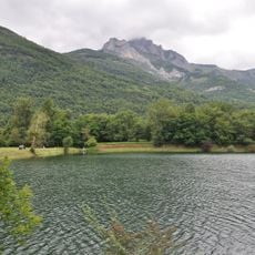
Although this summit is lower than many of its neighbors in the Pyrenees, it can be spotted from the plains around Toulouse with the naked eye. Its position at the front of the range means it appears on the horizon before taller peaks that sit further back.
The community of curious travelers
AroundUs brings together thousands of curated places, local tips, and hidden gems, enriched daily by 60,000 contributors worldwide.