Monte Tenibres, Border mountain in Alpes-Maritimes, France and Province of Cuneo, Italy.
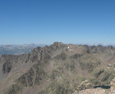
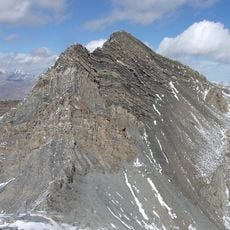
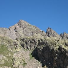
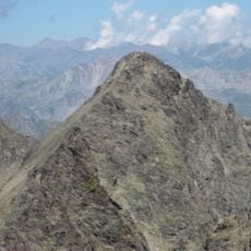
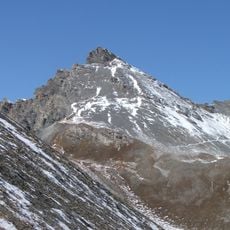
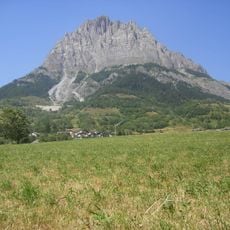
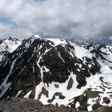
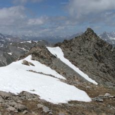
Monte Tenibres is a mountain on the border between the French and Italian Alps, rising to about 3031 meters. It forms a ridge between the Tinée Valley and the Stura di Demonte Valley and sits at the divide separating two major river systems.
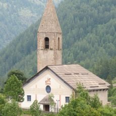
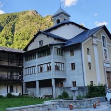
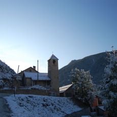
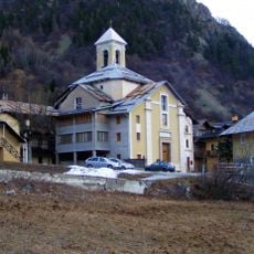
The mountain has served as a natural boundary between France and Italy for centuries and acts as a key geographical reference for communities on both sides. This border position shaped the settlement patterns and regional differences in the adjacent areas.
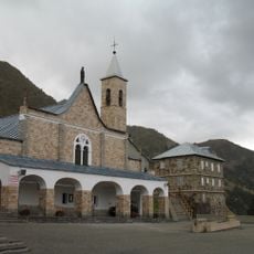
The slopes blend French and Italian Alpine traditions through established walking paths and pastoral practices that remain part of the landscape today.
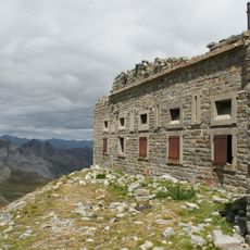
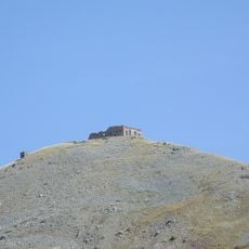
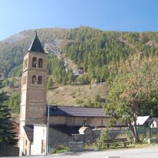
Hikers can reach the summit from Saint-Étienne-de-Tinée by following marked trails that pass through forested areas and lead to Lake Pétrus. The route demands good fitness and proper equipment for high mountain conditions.
The mountain sits at the watershed dividing waters flowing toward the Mediterranean Sea and the Adriatic Sea, near one of Europe's largest mountain landslides. This geological feature makes the region noteworthy for scientists and observant visitors.
The community of curious travelers
AroundUs brings together thousands of curated places, local tips, and hidden gems, enriched daily by 60,000 contributors worldwide.