Corborant, Mountain summit on the French-Italian border, Maritime Alps
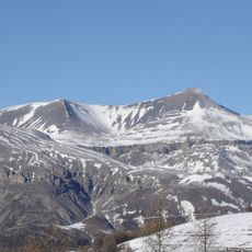
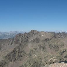
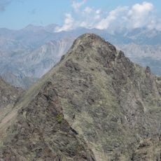
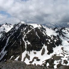
Corborant is a 3010-metre summit on the main Alpine watershed between Italy and France, rising in a north-south stretch of the ridge. On the Italian side it overlooks Vinadio in the upper Stura di Demonte valley; on the French side, Saint-Étienne-de-Tinée in the Tinée valley. It is built of ancient gneiss and amphibolite of the Argentera crystalline massif.
The first documented ascent of the east face was made by Victor de Cessole with the guide Jean Plent on 4 August 1909. On 21 July 1910 Cessole climbed the south wall with the guide Charles Galléan, and in September 1921 he crossed from the Pointe Gioffredo to the summit with Vincent Paschetta and Galléan. The first documented winter ascent was by C. Jacquin, L. Gastaud and M. Baudouin on 6 December 1936.
The location marks where Italian and French territories meet, showing long-standing connections between Alpine communities on both sides. People from both countries share the use of this mountain region and its paths.
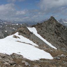
The normal route starts at the Rabuons refuge on the French side: skirt the lake to the north, climb into a broad depression up to the Corborant pass, then follow two successive rocky couloirs separated by a ledge to the summit. From Italy, the approach runs through the San Bernolfo valley past the Lausfer lakes on trails P23 and P47, or through the Ischiator valley on trail P26 to the upper lake; the nearest Italian base is the Migliorero refuge at 2094 m. Both Italian routes are alpine, graded F and F+, with rock passages up to grade II.
The mountain sits within both the Parco Alpi Marittime and Mercantour National Park, making it an internationally protected area. This dual protection safeguards rare Alpine plant and animal species found on both sides of the border.
The community of curious travelers
AroundUs brings together thousands of curated places, local tips, and hidden gems, enriched daily by 92,890 contributors worldwide.