
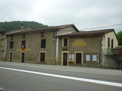
Celles, commune in Ariège, France
Location: canton of Foix-Rural
Location: Ariège
Location: arrondissement of Foix
Elevation above the sea: 470 m
Industry: administration publique générale
Shares border with: Freychenet, Leychert, Nalzen, Saint-Paul-de-Jarrat, Soula
Phone: +33561641669
Email: mairiecelles@wanadoo.fr
GPS coordinates: 42.91694,1.68667
Latest update: March 6, 2025 22:54
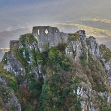
Château de Roquefixade
6 km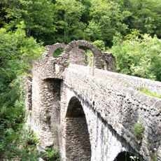
Devil's Bridge
3.9 km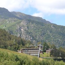
Mont Fourcat
7.3 km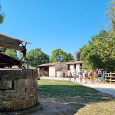
Forges de Pyrène
5.3 km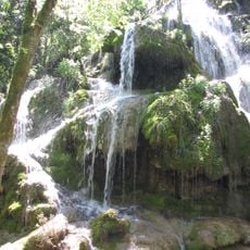
Cascades de la Turasse
7.3 km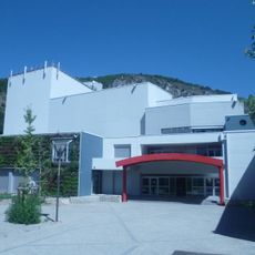
L'Estive
7.9 km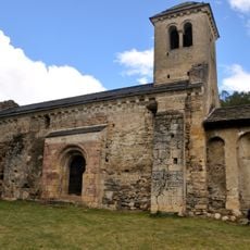
Chapelle Saint-Paul d'Arnave
8.3 km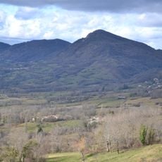
Pic de l'Aspre
3.7 km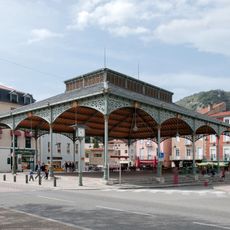
Halle aux grains
8.4 km
Les Épines de Lespinet
8.5 km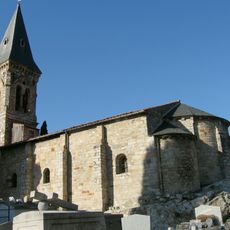
Église Saint-Louis de Mercus-Garrabet
6 km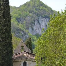
Église Saint-Vincent de Péreille
9.6 km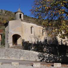
Église Sainte-Anne de Leychert
4.6 km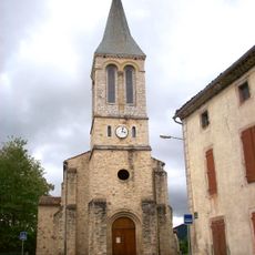
Église Notre-Dame-de-l'Assomption de Prayols
5.3 km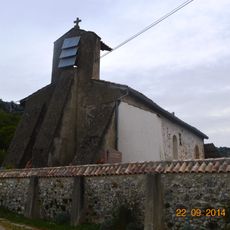
Église Notre-Dame-de-l'Assomption d'Arabaux
8.3 km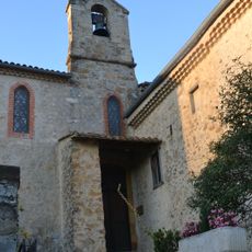
Église Sainte-Madeleine de Soula
3 km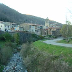
Église Saint-Barthélemy de Montferrier
9.2 km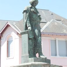
Monument to Joseph Lakanal
8.3 km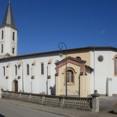
Église Saint-Germier de Saint-Paul-de-Jarrat
2.3 km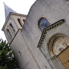
Chapelle Notre-Dame de Montgauzy
7.9 km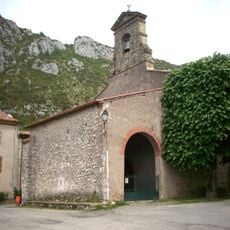
Église de la Nativité-de-la-Sainte-Vierge de Roquefixade
6 km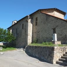
Église Saint-Jacques de Cazenave
8.6 km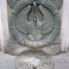
Fontaine de l'Oie
8.4 km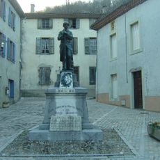
Montferrier war memorial
9.1 km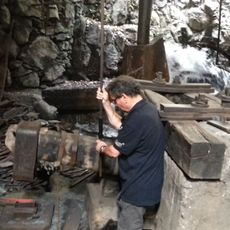
Forge de Montgaillard
4.7 km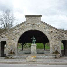
Fontaine-lavoir de Saint-Paul
2.3 km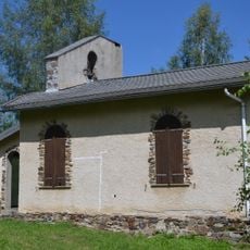
Chapelle Notre-Dame-des-Neiges des Monts d'Olmes
9.5 km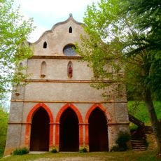
Chapelle Notre-Dame de Pla Rouzaud
1.5 kmVisited this place? Tap the stars to rate it and share your experience / photos with the community! Try now! You can cancel it anytime.
Discover hidden gems everywhere you go!
From secret cafés to breathtaking viewpoints, skip the crowded tourist spots and find places that match your style. Our app makes it easy with voice search, smart filtering, route optimization, and insider tips from travelers worldwide. Download now for the complete mobile experience.

A unique approach to discovering new places❞
— Le Figaro
All the places worth exploring❞
— France Info
A tailor-made excursion in just a few clicks❞
— 20 Minutes