Alpilles, Mountain range in Bouches-du-Rhône, France
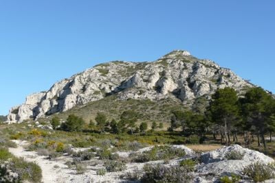
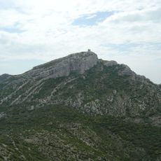
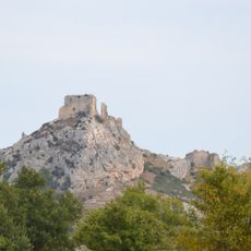
The Alpilles is a limestone mountain range situated between the Rhône and Durance rivers, with sharp peaks and dry valleys running through the landscape. The range stretches roughly 25 kilometers, linking several small villages and towns that sit along its slopes and foothills.
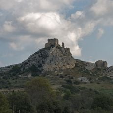
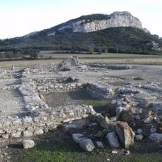
People have inhabited this area for at least 8000 years, as shown by archaeological finds in caves left by ancient inhabitants. The region later became a significant part of Provence with its distinct local communities and trading connections.
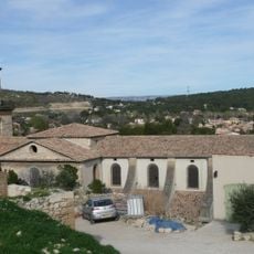
The area has long been shaped by olive farming and wine production, which remain central to how locals live and work. This agricultural heritage defines the landscape with its terraced fields and traditional farmhouses scattered across the slopes.
Visitors can use several marked hiking trails connecting Saint-Rémy-de-Provence, Les Baux-de-Provence, and Eygalières, with options for different skill levels. Start early in the day, as these popular routes get busy in warm weather and sun exposure is considerable.
The limestone terrain supports specialized Mediterranean plants and wild herbs adapted to dry conditions, creating a unique habitat. The rocky heights also provide nesting sites for rare raptors like Bonelli's eagles and Egyptian vultures, which visitors may spot soaring overhead.
The community of curious travelers
AroundUs brings together thousands of curated places, local tips, and hidden gems, enriched daily by 60,000 contributors worldwide.