Enable Location

We need your location to show you interesting places around you

Discover nearby places

Find interesting locations and hidden gems around you

Precise directions

Get accurate directions and distances to places

Your location is never shared with other users. It's only used when you tap the location button.

Signal de Randon

Log in to your account

Start exploring — it's free

Trusted by 61,981 travelers worldwide

Continue with Google
Continue with Apple
or

We will send you a code to connect

By continuing, you accept our Terms and Conditions and our Privacy Policy

Check your inbox

We've sent a pincode in your inbox. Please enter the code below.

Signal de Randon

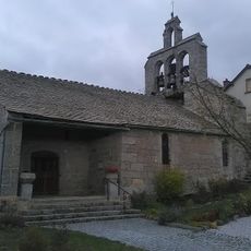
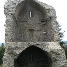
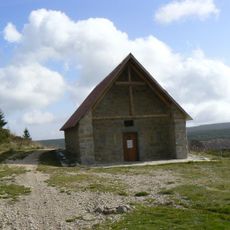
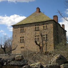
Signal de Randon, Mountain summit in Lozère, France

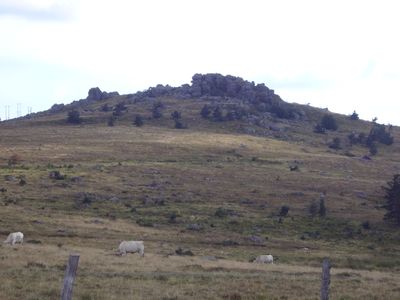
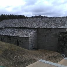
Signal de Randon is a mountain summit in the Margeride range within the Central Massif, standing at 1551 meters above sea level. The landscape is marked by rough granite boulders shaped by natural fractures that give the terrain its distinctive appearance.

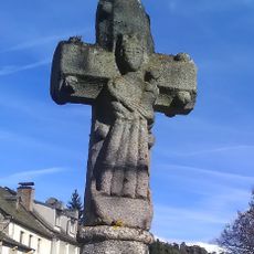
The mountain's name comes from the Gallic word 'randa' meaning limits, as it once marked the boundary between the ancient deaneries of Saugues and Javols. This reflects its long-standing role as a natural landmark in the region.

The granite formations around Signal de Randon reflect the geological heritage of the region, with specific patterns known as diaclases shaping the landscape.

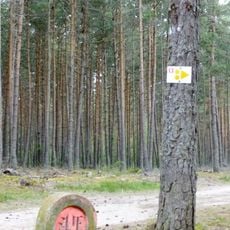
The summit is reachable via marked hiking trails starting from Col du Cheval Mort, with routes suited to different skill levels. Sturdy hiking boots are recommended due to the uneven granite terrain and loose rocks.

The rounded granite boulders were shaped over thousands of years through a natural process called woolsack weathering. These distinctive dome-shaped formations are scattered throughout the summit area and create a memorable landscape.

The community of curious travelers

AroundUs brings together thousands of curated places, local tips, and hidden gems, enriched daily by 60,000 contributors worldwide.

Start exploring
Location
Elevation above the sea
1,551 m
GPS coordinates
44.65608,3.54363
Latest update
December 14, 2025 15:00
« Signal de Randon - Mountain summit in Lozère, France » is provided by Around Us (aroundus.com). Images and texts are derived from Wikimedia project under a Creative Commons license. You are allowed to copy, distribute, and modify copies of this page, under the conditions set by the license, as long as this note is clearly visible.

Discover hidden gems everywhere you go!

From secret cafés to breathtaking viewpoints, skip the crowded tourist spots and find places that match your style. Our app makes it easy with voice search, smart filtering, route optimization, and insider tips from travelers worldwide. Download now for the complete mobile experience.

Around Us App Screenshot

A unique approach to discovering new places

Le Figaro

All the places worth exploring

France Info

A tailor-made excursion in just a few clicks

20 Minutes

Around Us
Travel Guide & Maps
Download

Send to your phone

QR Code
1

Open the camera app on your mobile.

2

Point at the QR code with your camera. A notification will appear.

3

Tap the notification to open the link.