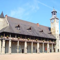
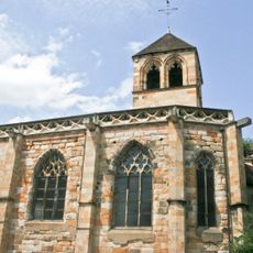
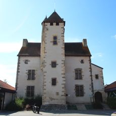
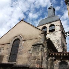
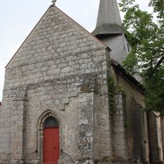
Combrailles, Natural region in central France
Combrailles is a natural region spanning central France across Allier and Puy-de-Dôme, with rolling terrain ranging from 550 to 748 meters elevation, combining forests and agricultural land in a mixed landscape. Woods and farmland alternate throughout the territory, creating a patchwork of different land uses.
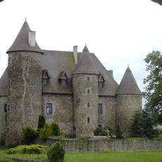
During the Gallic period, this territory belonged to the Arverni tribe, which controlled gold mines that fueled regional trade and economic growth. These early mining operations left an important mark on the area's development.
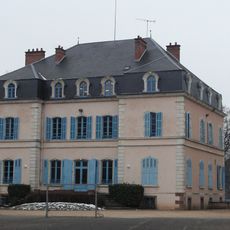
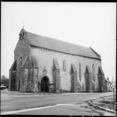
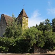
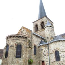
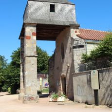
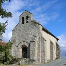
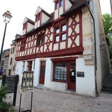
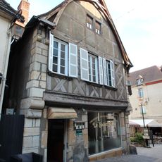
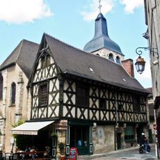
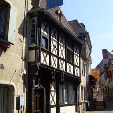
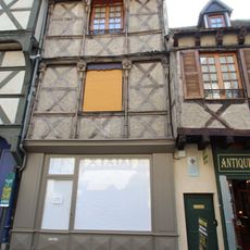
Local communities maintain rural traditions through their relationship with the land, visible in how farms and forests are managed across the territory. This everyday connection to agriculture shapes the rhythms and character of village life throughout the area.
The area experiences a mountain climate with significant rainfall between 900 and 1500 millimeters annually, concentrated in autumn and winter months. Visitors should prepare for wet conditions and bring weather-appropriate clothing, especially during cooler seasons.
Since 2017, the area forms part of the Chavanon Combrailles et Volcans community, a grouping of municipalities working together in the Auvergne-Rhône-Alpes region. This cooperation helps local towns coordinate shared projects and regional planning.
The community of curious travelers
AroundUs brings together thousands of curated places, local tips, and hidden gems, enriched daily by 60,000 contributors worldwide.