Capo al Dente, Mountain summit in Haute-Corse, France
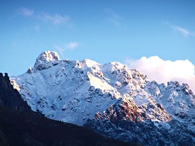
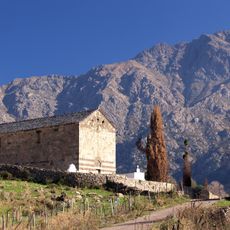
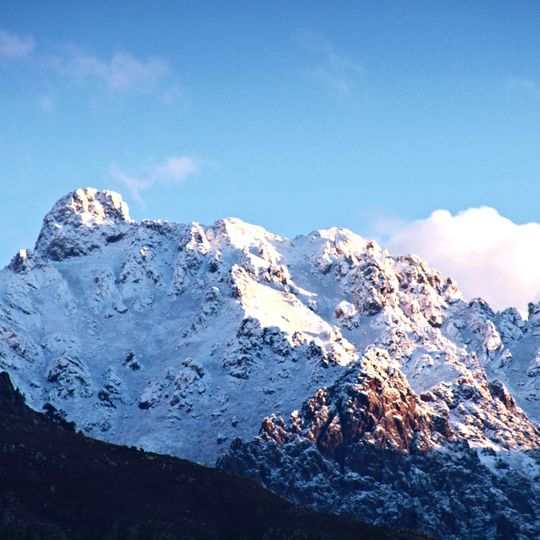
Capo al Dente is a 2,029-metre summit of the Monte Cinto massif in Haute-Corse, on the border of Calenzana and Mausoléo. It stands between the Tartagine valley, a tributary of the Asco, and the Frintogna stream valley, which downstream becomes the Fiume Seccu. Its snow-covered crest shows dark grey and brown rock, with a bare outcrop on the lower right flank.
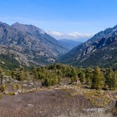
The Bocca di Tartagine, a pass at 1,852 metres between Capu a u Dente and Monte Corona, was once used by transhumant shepherds moving between the Giussani and Balagne. The summit lies about 1.5 km from Monte Corona and just off the GR 20 long-distance path, near the Ortu di u Piobbu refuge on its first stage from Calenzana.
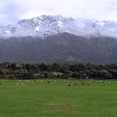
The name is Corsican: "Capu" for the summit and "U Dente" for the tooth, from the profile seen from the Balagne coast. Approaching it, the mountain looks fairly ordinary, as the sources note. From Vallica in the Giussani it is clearly visible.
Climbing this peak requires mountaineering experience and proper gear, as the terrain is steep and exposed. Weather conditions change quickly at this elevation, so it is best to check forecasts carefully and start early in the day.
The peak marks a natural boundary between the municipalities of Calenzana and Mausoléo and can be seen from the Balagne coast. This visibility from a distance made it a useful landmark for people navigating the region.
The community of curious travelers
AroundUs brings together thousands of curated places, local tips, and hidden gems, enriched daily by 93,925 contributors worldwide.