France–Luxembourg border, international border
The France-Luxembourg border is a 73-kilometer line that runs through a rural landscape of rivers, forests, and open fields. It stretches from west to east, from the Chiers river to the Moselle river, marking the separation between the two countries with signs and landscape features.
The border was first drawn in the 1500s and shifted multiple times through treaties and land exchanges over the centuries. Its most recent change occurred in 2007 when France and Luxembourg exchanged land to support development projects in the region.
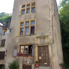
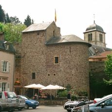
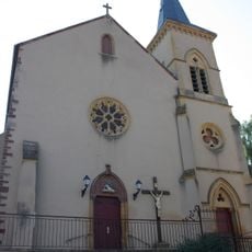
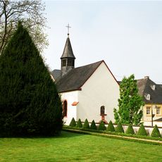
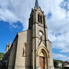
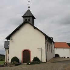
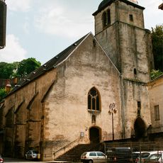
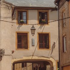
The border region blends influences from France, Luxembourg, and Germany in its daily life. People in nearby towns speak multiple languages and mix traditions that reflect centuries of shared history across this landscape.
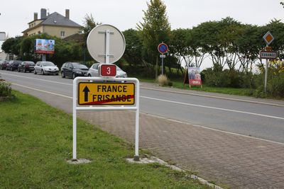
The border can be crossed at several road and rail points, with the main highway being route E25 near Zoufftgen. There are no passport controls as this is an internal European Union boundary.
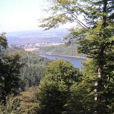
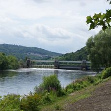
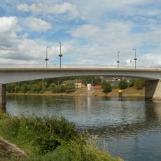
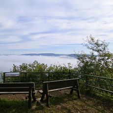
What many visitors overlook is that the Moselle river in the east naturally marks the border and creates a valley where vineyards cling to the hillsides. This is one of few places where a major river defines the boundary in such a visible way.
The community of curious travelers
AroundUs brings together thousands of curated places, local tips, and hidden gems, enriched daily by 60,000 contributors worldwide.