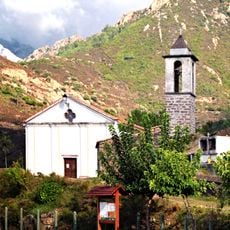
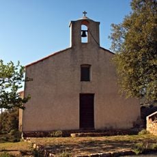
Bonifatu, State forest in Calenzana, Corsica.
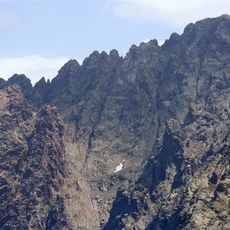
The Bonifatu Forest is a territorial forest of over 3,000 hectares on the commune of Calenzana, 20 km from Calvi, spanning 300 to 2,000 m of altitude. It fills the Bonifatu cirque, a granite basin ringed by peaks from Capu Ghiovu (1,629 m) to Punta di Bonassa (1,179 m); Capu a u Ceppu (1,951 m) is the highest point of the forest domain. The Figarella rises below Punta di Spasimata (1,863 m).
The forest is territorial property of the Collectivité de Corse, managed by the ONF. Prince Pierre-Napoléon Bonaparte once kept a chalet here, now in ruins. The steep passes of the Bonifatu cirque, such as Bocca di Tartagine and Bocca di a Muvrella, once linked the Figarella valley with Tartagine, Asco and Fango for pastoral transhumance, since abandoned. In 1982 four hikers died in a fire.
The steep passes along the Bonifatu ridge, such as Bocca di Tartagine and Bocca di a Muvrella, once linked the forest with the Tartagine, Asco and Fango valleys for pastoral and rural activity, including transhumance, which has since been abandoned. Corsican names mark the terrain: pini for maritime pines, lecce for holm oaks, largi for Laricio pines.
Accessible from Calenzana via local roads with parking facilities available, the forest offers marked trails for hiking, notably the Focaghjola loop which requires approximately 1 hour 30 minutes of walking on steep and rocky terrain.
The D251 road to the forest crosses the Campanella military firing range, so access can be closed when shooting is under way. The forest is also the site of a deadly 1982 fire in which four hikers died, and it stays under high summer surveillance.
The community of curious travelers
AroundUs brings together thousands of curated places, local tips, and hidden gems, enriched daily by 92,748 contributors worldwide.