Montmaurin, Archaeological site in Montmaurin and Lespugue, France.
The Gorges de la Save are a defile cut by the Save river through a limestone fold of the Pyrenean piedmont, along the boundary between Montmaurin and Lespugue over just over two kilometres. The cliffs of the massif reach about thirty metres high, and the river's passage has left a complex karst network and many cavities. The D9g road runs through the gorges.
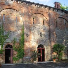
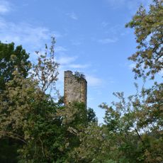
The gorges cut by the Save through the limestone fold of the Petites Pyrénées have been occupied continuously since the Middle Palaeolithic, as shown by the pre-Neanderthal mandible found in the nearby Seygouade gorges. The Upper Palaeolithic is represented by the Vénus de Lespugue, discovered in the gorges themselves. Antiquity left the Gallo-Roman villa of Lassalles and the Gallo-Roman site of La Hillère at the entrance to the defile, and the Middle Ages the chapel Notre-Dame de la Hillère and the castle ruins of Roquebrune and Lespugue on the surrounding hills.
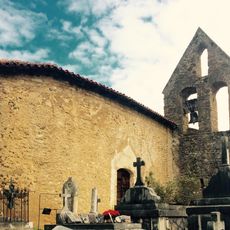
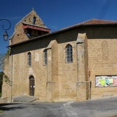
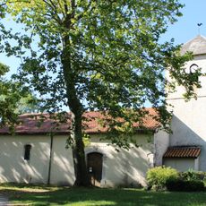
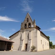
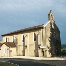
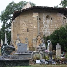
The name Montmaurin refers to the village at the northern entrance of the gorge, where the D9g road runs between the cliffs. The sign at the roadside marks the site as a protected reserve. Nearby stands the chapelle Notre-Dame de la Hillère, built on the spot of a Gallo-Roman site at the mouth of the defile.
The site is mostly open ground and should be visited during dry weather, as paths become slippery after rain. There is little shade, so bring sun protection and water during hot months.
The right bank of the gorges is largely listed as a Monument historique, and the whole site became a type I ZNIEFF in 1997. In 2007 the last limestone quarry closed at the request of the regional heritage commission, yet the municipality backed a new 8-hectare quarry with a crushing plant meant to process 150,000 tonnes a year for 30 years.
The community of curious travelers
AroundUs brings together thousands of curated places, local tips, and hidden gems, enriched daily by 93,242 contributors worldwide.