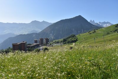
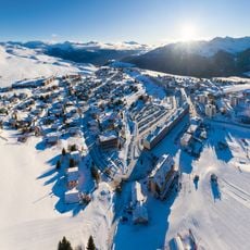
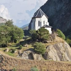
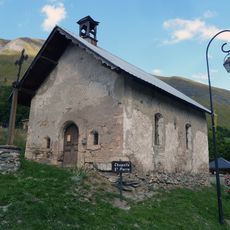
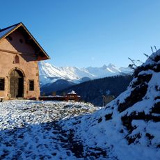
Mont Charvin, Mountain summit in Savoie, France
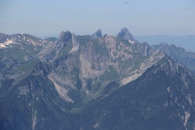
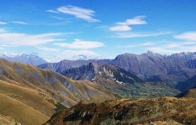
Mont Charvin rises to 2207 meters within the Arves massif and features steep slopes with multiple switchbacks along rocky terrain. The summit sits in the Savoyard Alps and commands wide views across the surrounding mountain landscape.
Paths around Mont Charvin developed over centuries as local shepherds moved their flocks between valley pastures and higher grazing grounds. These traditional routes later became walking trails that visitors still follow when climbing the mountain today.
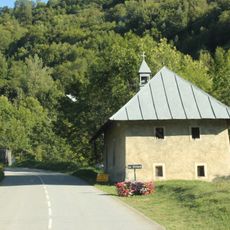
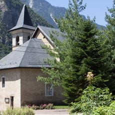
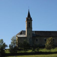
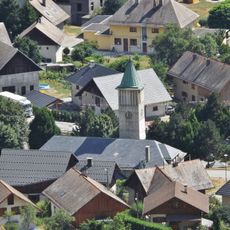
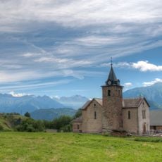
The mountain forms part of a pastoral landscape shaped by shepherds who move their livestock between valleys and alpine meadows with the seasons. This practice continues to define how the slopes look and how people in nearby villages live.
The hike from the Sardoches parking area is steep and requires solid footing on rocky sections. Good hiking boots and attention to weather are essential since conditions can change quickly at higher elevations.
On clear days, Mont Blanc appears on the distant horizon, and Bearded Vultures use the thermals around the rocks to soar overhead. These large birds of prey have returned to the region after decades of absence and are now seen regularly here.
Location: Albiez-Montrond
Location: Saint-Jean-d'Arves
Elevation above the sea: 2,207 m
GPS coordinates: 45.21765,6.28460
Latest update: December 14, 2025 20:27
Les Sybelles
2.1 km
Saint-Jean-de-Maurienne Cathedral
8.2 km
Lac de Grand Maison
12.6 km
Église Saint-Saturnin de Saint-Sorlin-d'Arves
4.2 km
Tour du Châtel
11.2 km
Chapelle de la Balme
12 km
La Forêt de l'Enfer
12.1 km
Église Notre-Dame de Saint-Jean-de-Maurienne
8.1 km
Chapelle Notre-Dame-de-la-Visitation du Villard
3.7 km
Église Saint-Michel de Pontamafrey
11.4 km
Église de l'Assomption de Fontcouverte-la Toussuire
3.6 km
Église Saint-Martin d'Hermillon
11 km
Chapelle de l’Immaculée Conception de Pontamafrey
11.3 km
Bassin de Longefan
9.7 km
Église Saint-Colomban de Saint-Colomban-des-Villards
9.7 km
Église Saint-Pierre-aux-Liens de Villarembert
3.2 km
Théâtre Gérard Philipe
8.2 km
Église Saint-Alban de Saint-Alban-des-Villards
10.6 km
Chapelle Sainte-Madeleine du Poingt Ravier
12 km
Bassin de compensation de Longefan
9.7 km
Chapelle Saint-Bernard de la Borgé
12.4 km
Chapelle Notre-Dame des Prés Plans
4.9 km
Chapelle Notre-Dame des Chambeaux
7.7 km
Cloître de la cathédrale Saint-Jean-Baptiste de Saint-Jean-de-Maurienne
8.2 km
Chapelle Saint-Pierre de l'Église
3.5 km
Chapelle Saint-Roch-et-Saint-Sébastien de Jarrier
7.8 km
Croix du col de la Croix de Fer
6.5 km
Palais épiscopal de Saint-Jean-de-Maurienne
8.1 kmVisited this place? Tap the stars to rate it and share your experience / photos with the community! Try now! You can cancel it anytime.
Discover hidden gems everywhere you go!
From secret cafés to breathtaking viewpoints, skip the crowded tourist spots and find places that match your style. Our app makes it easy with voice search, smart filtering, route optimization, and insider tips from travelers worldwide. Download now for the complete mobile experience.
A unique approach to discovering new places❞
— Le Figaro
All the places worth exploring❞
— France Info
A tailor-made excursion in just a few clicks❞
— 20 Minutes