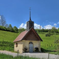
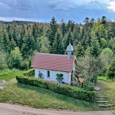
Mont Châteleu, Mountain summit in Doubs department, France
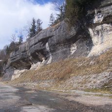
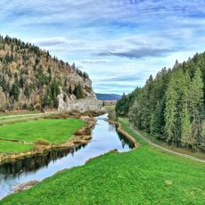
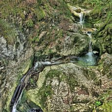
Mont Châteleu is a mountain summit in the Jura rising to 1301 meters composed of sedimentary rock formations that run along a southwest to northeast ridge. This structure forms a natural water divide and creates a distinctive line across the landscape.
The rocks composing this mountain formed during the Mesozoic era, making it an ancient geological feature of the region. For centuries it served as a natural border between France and Switzerland.
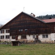
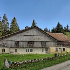
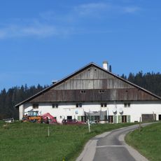
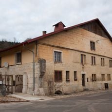
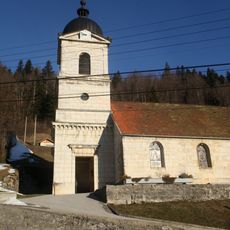
The mountain acts as a natural boundary between two drainage basins that has shaped how communities settled and organized themselves across generations. You can see this influence reflected in where villages and paths are located relative to the ridge.
Hiking trails reach the summit from the French commune of Les Gras to the northwest or the Swiss village of La Brévine to the southeast. Both routes require sturdy footwear and proper preparation since mountain weather can change rapidly at elevation.
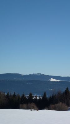
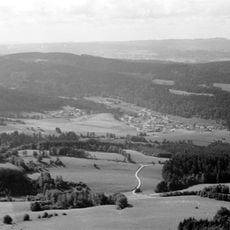
From the highest point you can see across four French departments and three Swiss cantons, making it a rare vantage point for viewing both countries. This wide vista allows visitors to take in the geographic scope of the border region in a single view.
The community of curious travelers
AroundUs brings together thousands of curated places, local tips, and hidden gems, enriched daily by 60,000 contributors worldwide.